On-demand Webinar
Accurate mapping and surveying are critical for the success of environmental and industrial projects in the mining, security, civil engineering, corridor mapping, forestry, environmental research, and architecture industries.
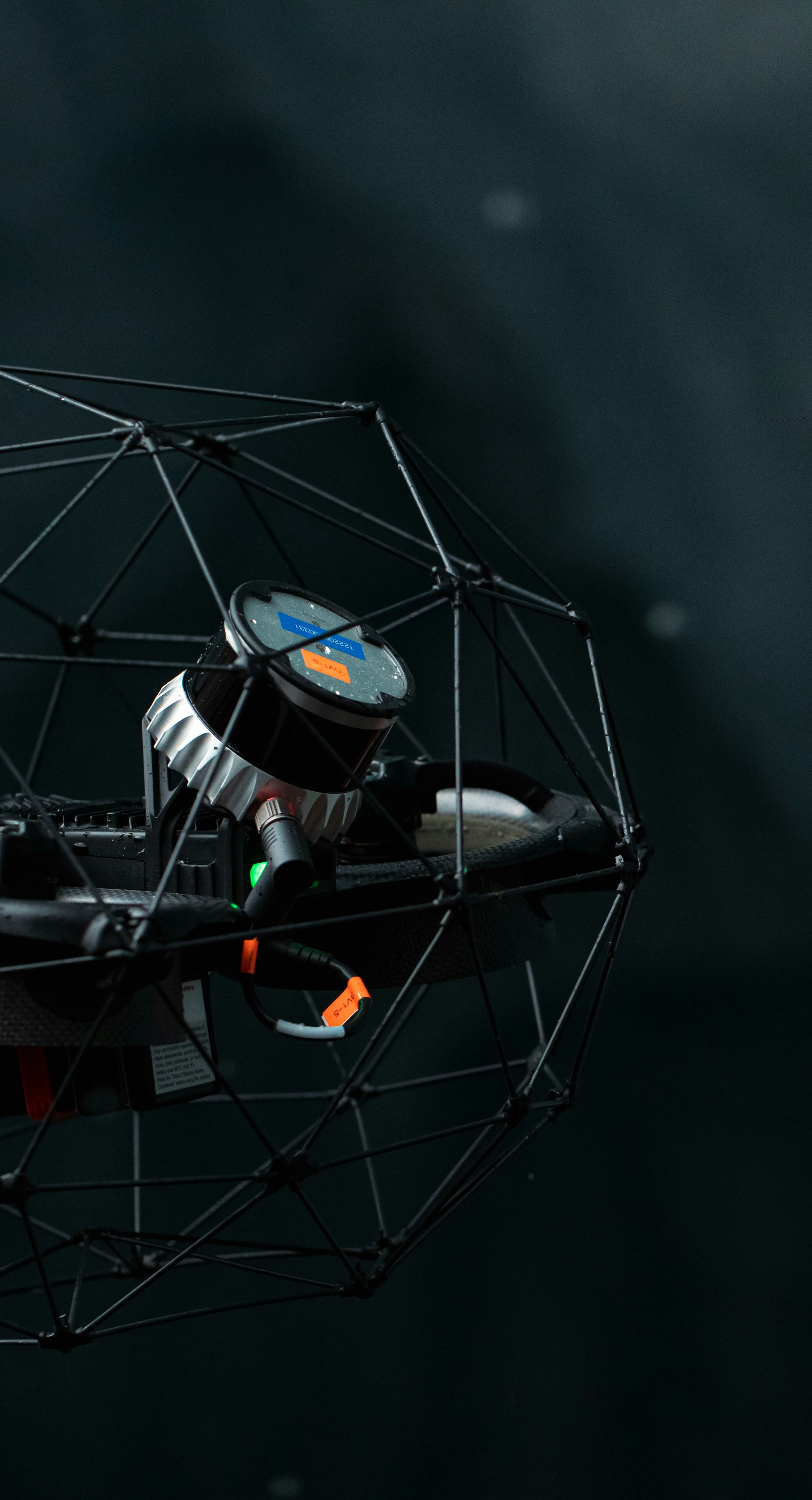
With market-leading range and resolution, as well as outstanding precision, Ouster’s light-weight digital lidar allows you to collect clear visual data and create precise digital twins, even in difficult indoor and outdoor conditions.
In this webinar, we’ll cover:
- Current challenges in mapping and surveying applications
- How Ouster’s lidar technology addresses these challenges and also reduces data processing time, project costs, and risks.
- Examples from our current partners on how they successfully use our sensors in the field today.
