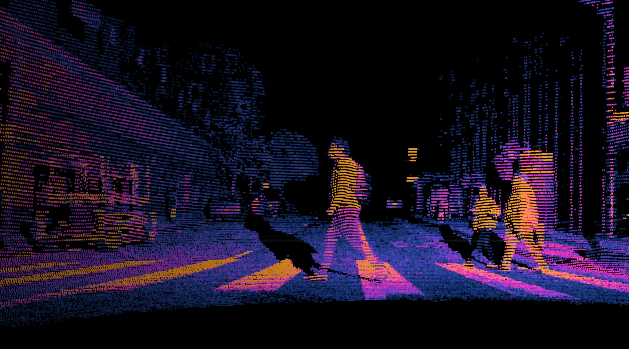
According to the US Department of Transportation, one pedestrian is killed by a vehicle every 85 minutes in the United States. Wheelchair users alone are 36% more likely to be killed in a road accident compared to the general public. Unfortunately, there is little data and limited dedicated research to reveal the risk factors that make intersections more dangerous for certain groups.

To help address this challenge, the Transportation Forecasting Competition (TRANSFOR 22) is calling on teams to develop creative and innovative approaches to help make our cities safer for vulnerable road users.
In this competition, participants will be utilizing lidar datasets to improve roads for our most vulnerable users, including individuals with limited mobility, cyclists, and people pushing strollers. Register by November 14th, 2021 to participate and a chance to present your solution at the Transportation Research Board conference in January 2022.
Intersections are not designed with all road users in mind
Most signalized intersections today have pre-timed signals with standardized WALK intervals of only 4-7 seconds that are designed for the “typical” pedestrian with an assumed walking speed of 3.5-4/feet per second. WALK intervals do not account for users who may need additional time or assistance – whether it’s someone in a wheelchair, pushing a stroller, or simply walking at a slower pace.
One solution is a more dynamic signaling approach that can recognize and distinguish users requiring more (or less) time based on mode and/or mobility. By enabling real-time detection using digital 3D lidar systems installed on traffic infrastructure, municipalities can accelerate progress towards improving traffic safety at intersections without compromising personal privacy.
However, dynamic signal control based on advanced user classification requires further research. This is where we need your expertise.
Call for entrants at TRANSFOR 22
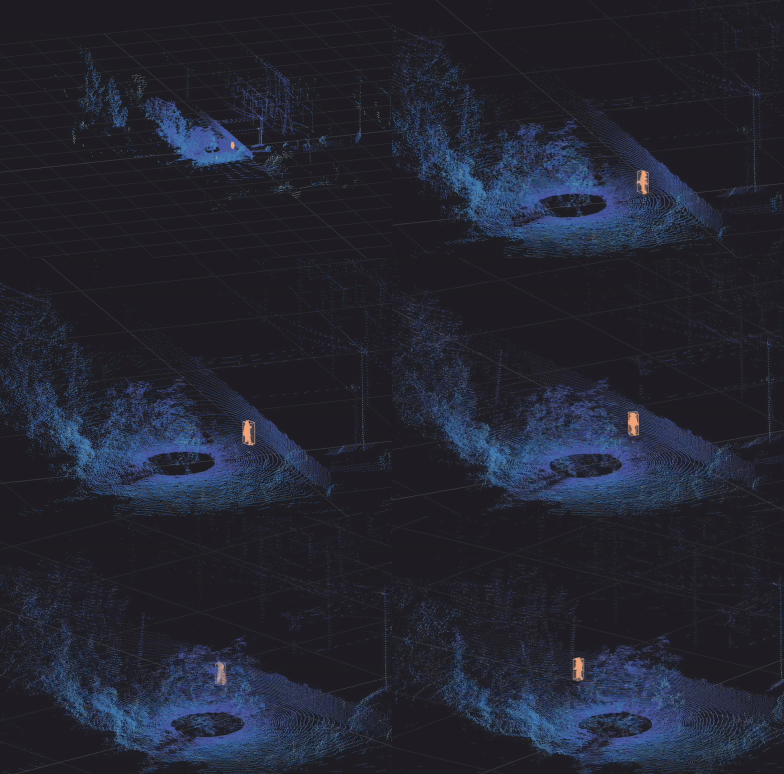
In this TRANSFOR 22 challenge, contestants will be provided with robust lidar data collected from an intersection in downtown Chattanooga, Tennessee. Objects in the dataset will be labeled with pedestrian, vehicle, two-wheeler, and subclassification features of object size and velocity.
Using this data, contestants can evaluate the data accuracy of vulnerable pedestrian groups, predict the time needed for them to safely cross a street, and ideate creative solutions to make dynamic signal control a reality.
Ouster lidar, along with 3D computer vision software provided by Seoul Robotics, is used to provide enriched three-dimensional views of the intersection regardless of weather conditions or time-of-day. This ensures that the data accurately represents a given intersection through all hours of the day and in all edge cases.

The top three entrants will present their projects as part of the Transportation Research Board (TRB) Standing Committee on Artificial Intelligence and Advanced Computing Applications (AED50) during the upcoming Annual Meeting of TRB in January 2022. The final winner will be selected based on classification accuracy, novelty of solutions, quality of the code, and quality of the presentation. First prize will be awarded $3,000, second prize $2,000, and third prize $1,000.
This is an amazing opportunity to make a lasting impact on road safety. Register and learn more about the competition and the data.
About TRANSFOR 22
This competition is organized by the TRB AED50 Committee with the support of IEEE ITSS Technical Activities Sub-Committee “Smart Mobility and Transportation 5.0.” Data for TRANSFOR 22 is from one of the intersections on the MLK Smart Corridor, an urban testbed in downtown Chattanooga. The Center for Urban Informatics and Progress (CUIP) at The University of Tennessee at Chattanooga (UTC) owns and operates the testbed. Ouster and Seoul Robotics are co-sponsoring the prizes for TRANSFOR 22, with CUIP and the City of Chattanooga, serving as proud sponsors and contributors.


