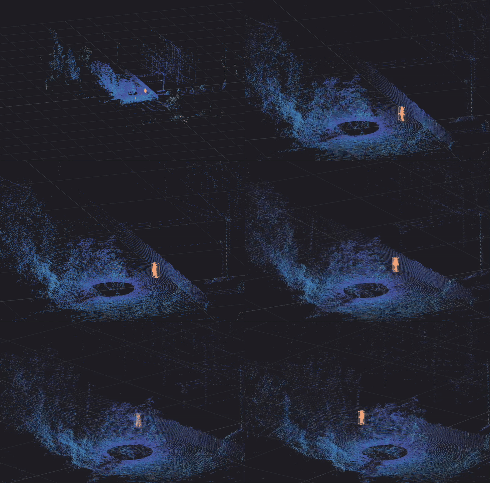
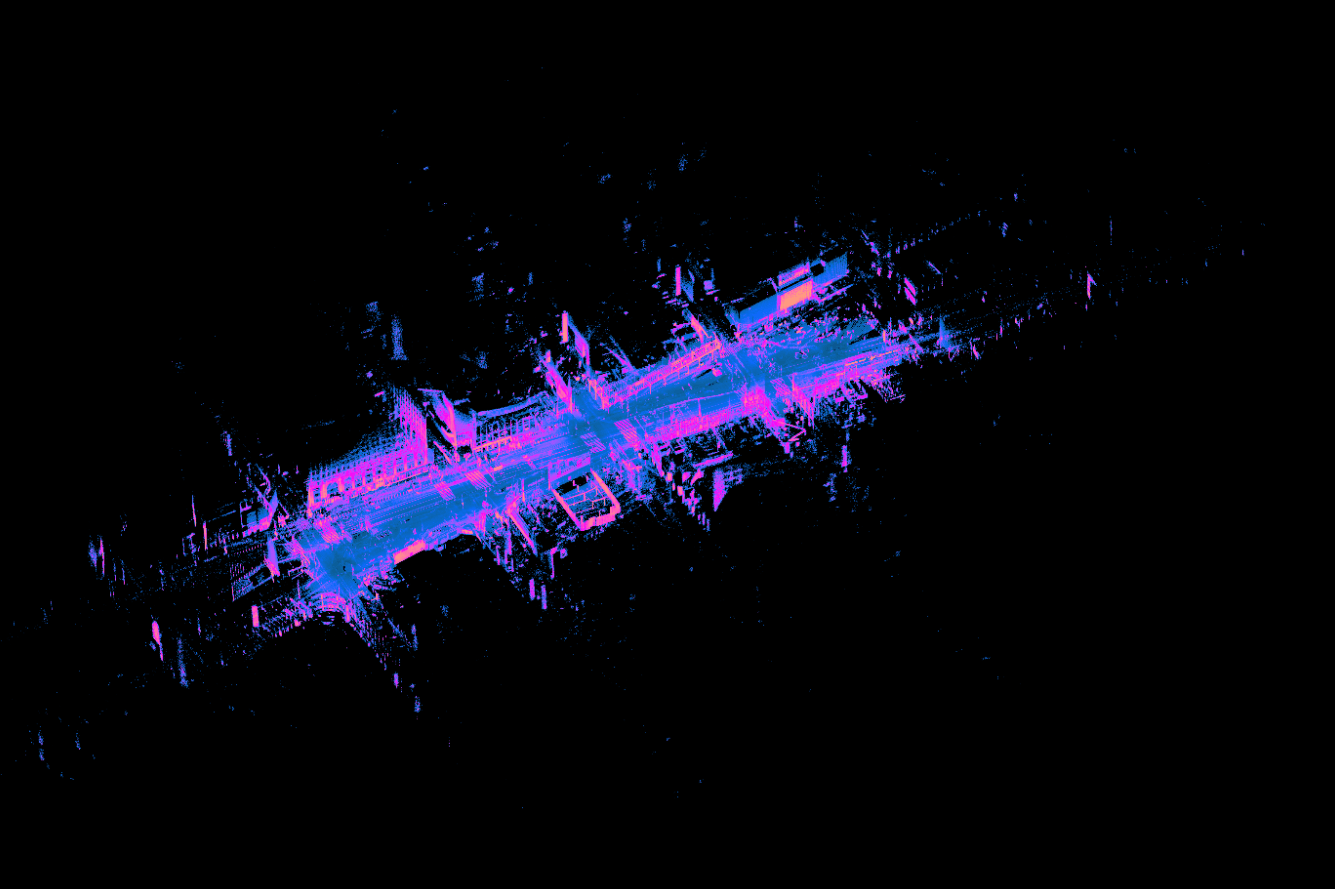
La Venta researchers are pushing the bounds of exploration with Flyability’s high-performance industrial drone powered by Ouster digital lidar. Together, we’ve teamed up to create high-resolution 3D maps of volcanic lava tubes and glacial ice caves in remote parts of Iceland to improve space exploration and study the impacts of climate change.
Ouster customer Flyability has deployed drones everywhere from the sewers of Lausanne, Switzerland to cement factories in Morocco for industrial inspection and analysis with increasing adoption for 3D mapping and volumetric measurement applications. Its newly released next-generation drone, the Elios 3, powered by an OS sensor, is optimized for use in rugged, difficult to reach areas and industrial indoor environments.

Beyond Flyability and Ouster’s shared commitment to making industrial sites safer and more efficient, both companies also have a mutual mission to aid scientific research, exploration, and sustainability wherever possible. Even more, we want to test our technologies at their limits in the most extreme real-world environments and learn from those findings in order to deliver even greater performance to our customers.
As such, we teamed up with the Italian expedition and research agency, La Venta, on an exploratory mission to Iceland to create high-resolution 3D maps of lava tubes at the Fagradalsfjall volcano and ice caves on the Vatnajökull glacier to help improve space exploration and study the impacts of climate change, respectively.
“We are now able to do 3D mapping in unthinkable environments.”
– Francesco Sauro, La Venta

The data that collected at Fagradalsfjall will be used to help understand how life returns following a volcanic eruption here on Earth, and to prepare astronauts at the European Space Agency for research in analogous lava tube scenarios on the Moon and Mars to assess whether they could potentially serve as bases protected from the environmental and radiation challenges inherent to space exploration.

Meanwhile, the study completed in glacial caves on Vatnajökull will serve as a baseline volumetric analysis which will be compared against follow up measurements taken over the course of the next year and decade. Until now, glacial melt and the corresponding pace of reduction has been calculated using satellite imagery to measure shrinking surface area. According to new scientific research, climate change models need to consider the ‘Swiss Cheese’ nature of glaciers, in which ice caves beneath the surface, created by meltwater and enlarged by prolonged warm seasons, have a significant negative impact on the overall volume of the glacier. The rate of glacial melt may be meaningfully faster than previously thought. Even more, they are looking to understand whether the impact of glacial melt corresponds to increases in volcanic activity.
“We know that the future for what lidar sensing will enable is just incredibly promising, and it’s going to be unlocking new use cases that we can only begin to imagine right now.” — Zacc Dukowitz, Flyability
Stay in touch to get updates on La Venta’s research using Flyability’s drone and future case studies utilizing digital lidar to achieve the unthinkable.


