Robotics and Drones
Ouster’s driver for ROS 2 simplifies the use of lidar sensors and captured lidar data. A short webinar and Q&A will offer insights from Ouster's engineering team on how to take full advantage of the driver.
Watch nowSupercharged ingenuity.
Roboticists are pioneering an automated future across every aspect of our daily lives. Robots and drones are taking on tasks that are too redundant, cumbersome, expensive or dangerous for humans — from mowing lawns to diffusing bombs. Robotic operation requires an advanced sensor suite to map and interact with the physical world. With Ouster’s high-performance lidar sensors, robots will be better equipped to play a role in making the future safer and simpler for everyone.

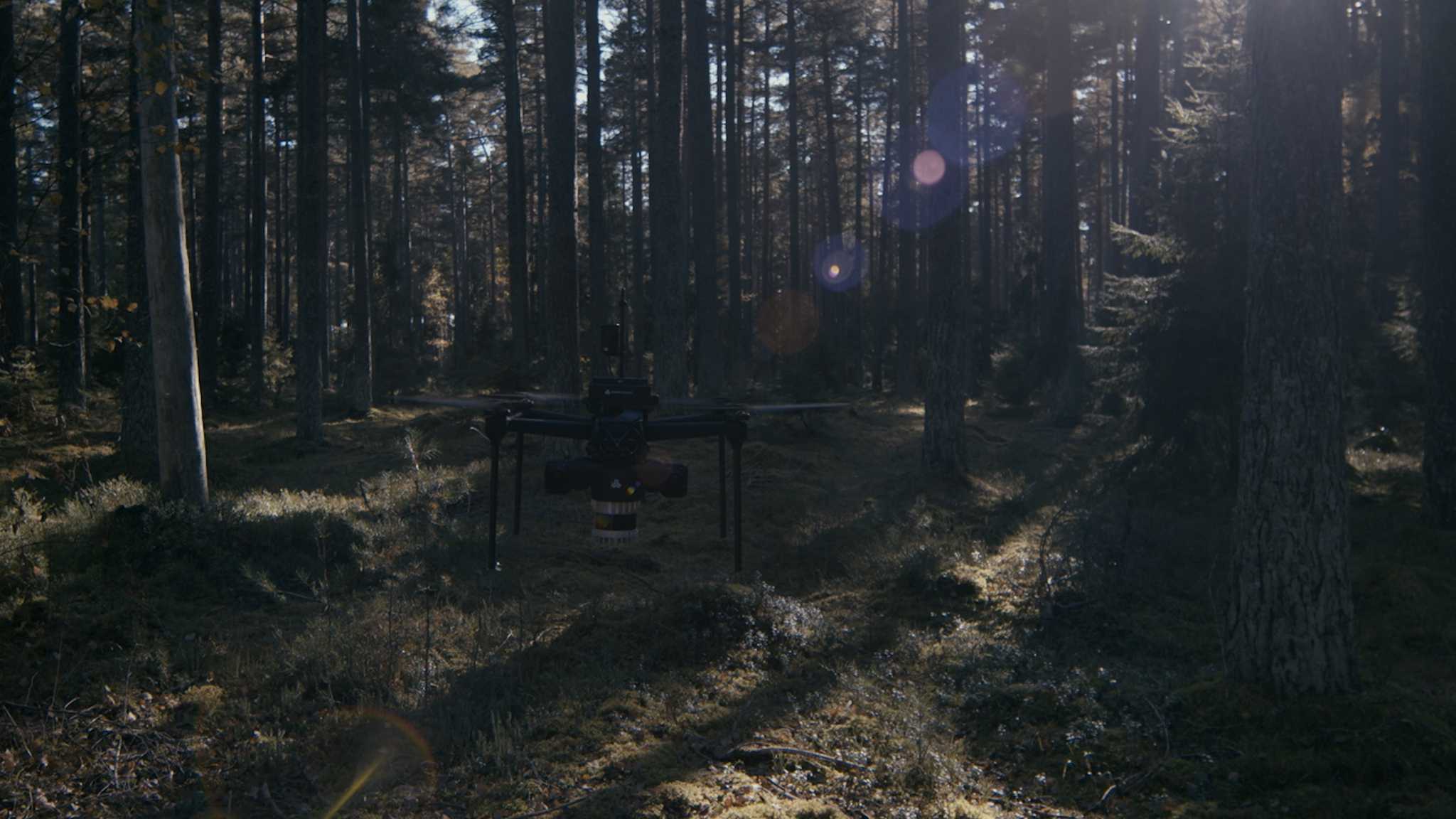
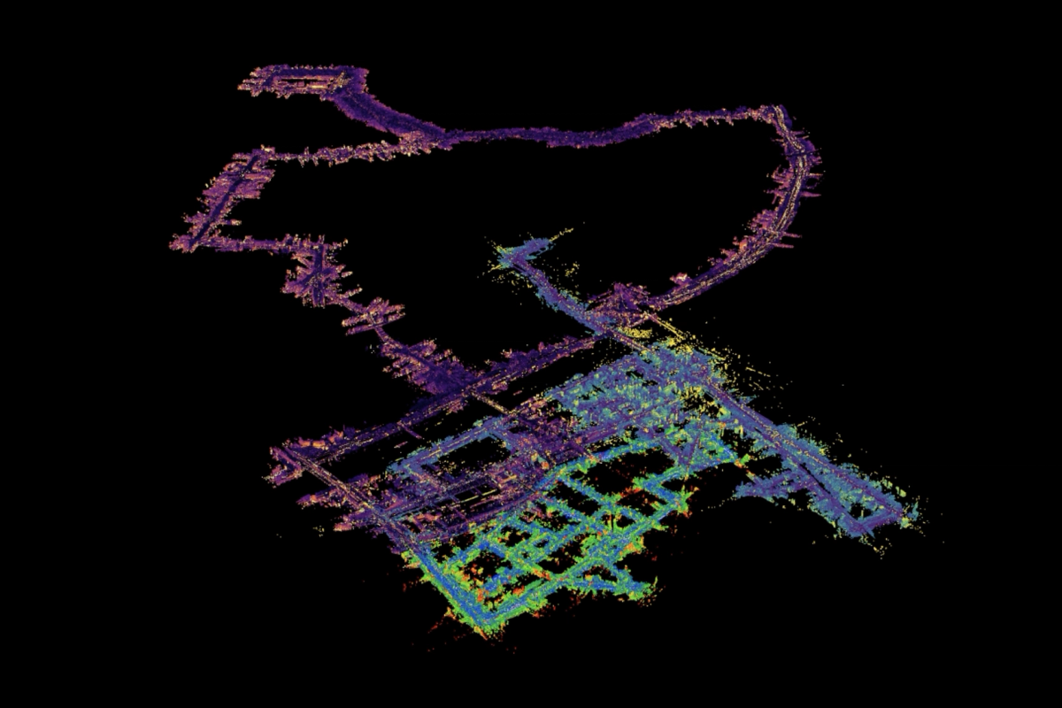
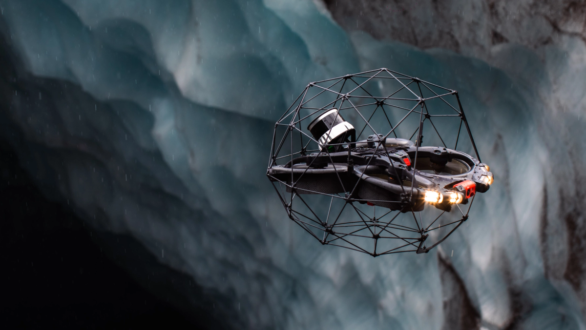
OS1 - Flyability, Iceland
Mapping, surveying, and inspection.
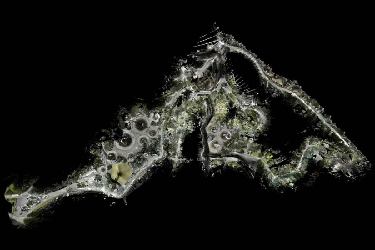
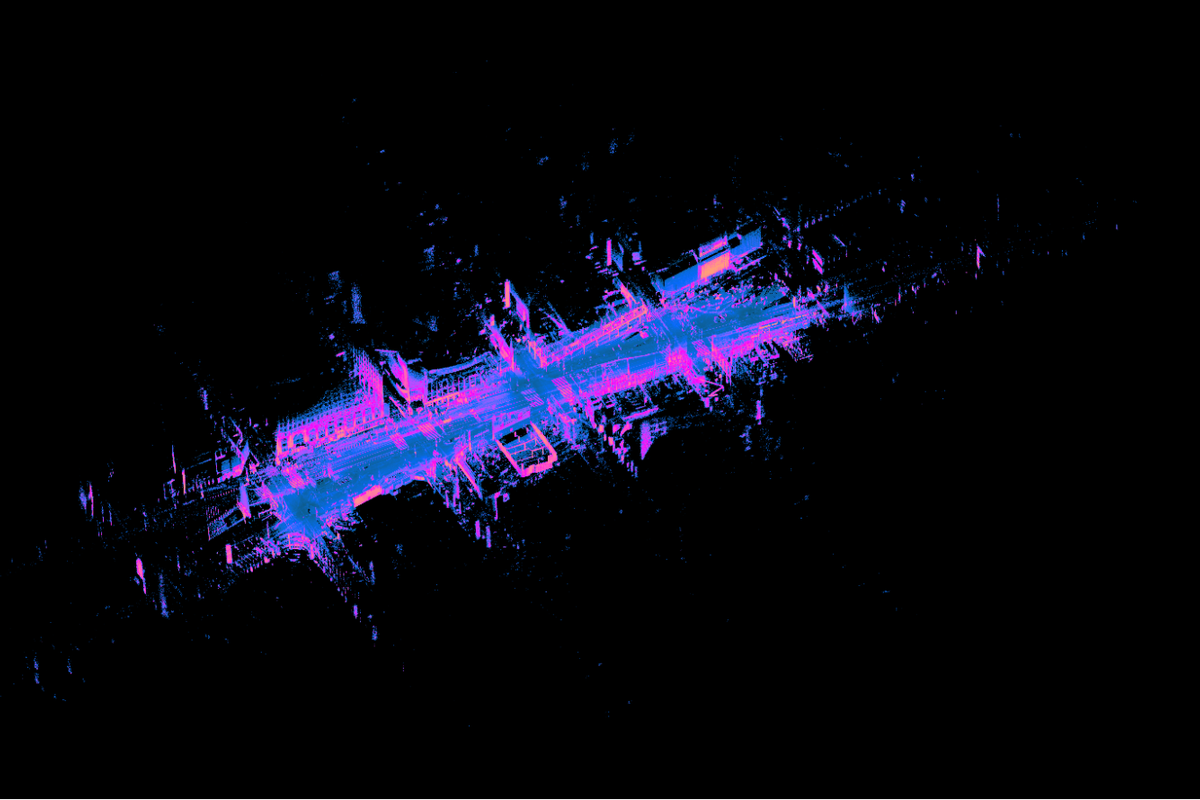
A powerful suite of sensors helps provide detail rich and accurate maps and digital twins for inspection, surveying, and mapping.
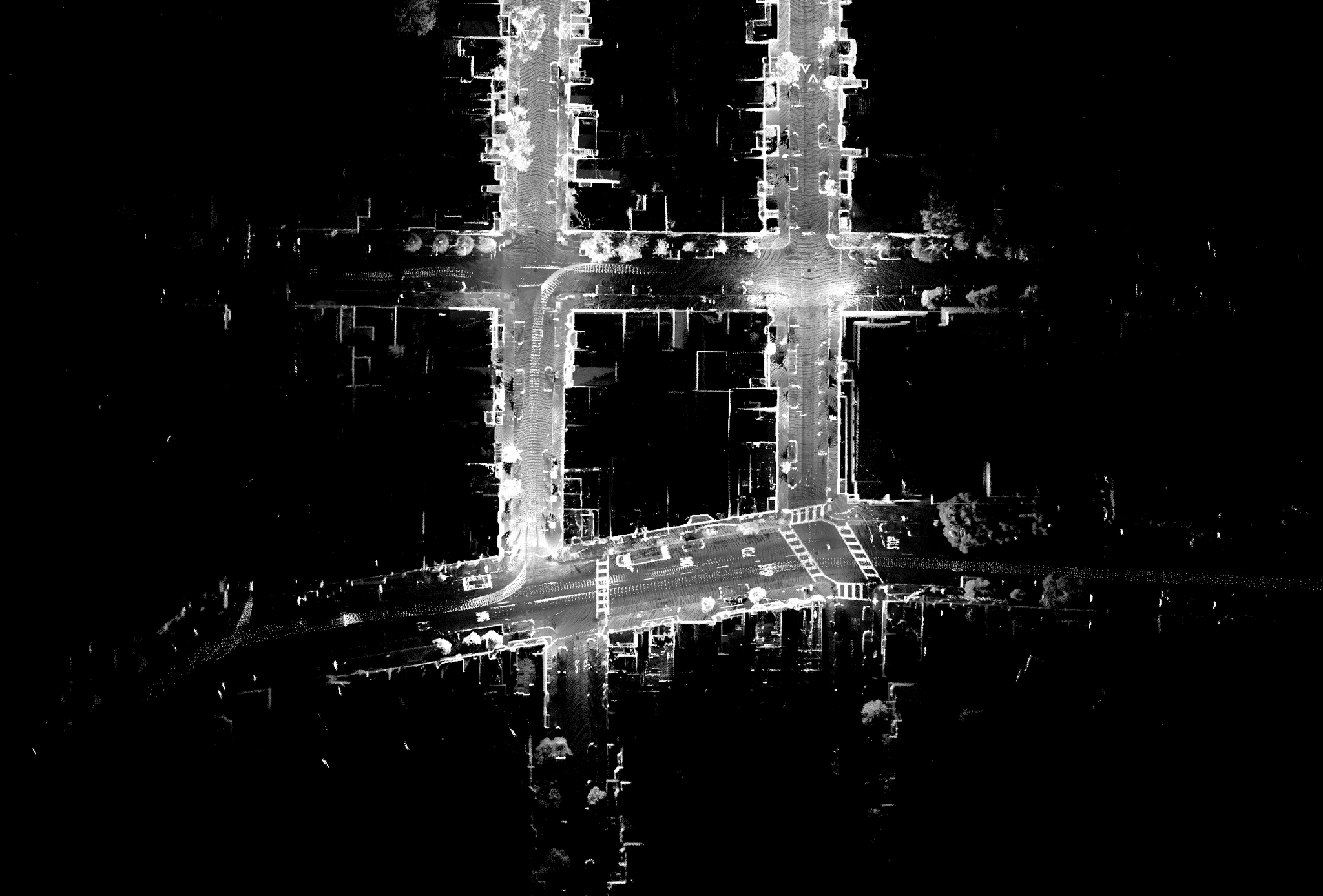
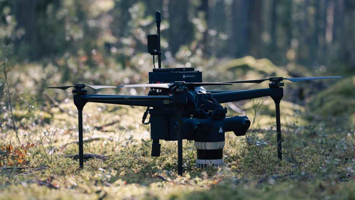
OS1 - Exwayz, Paris
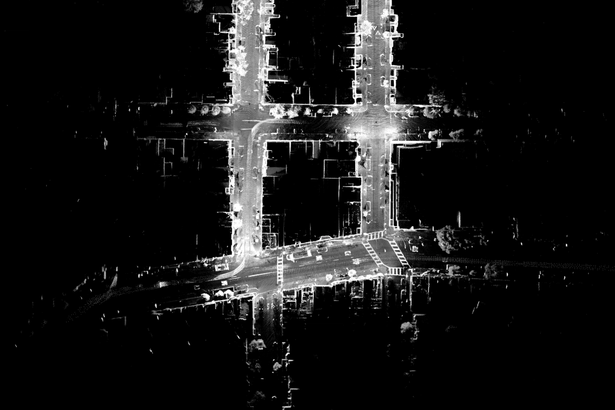
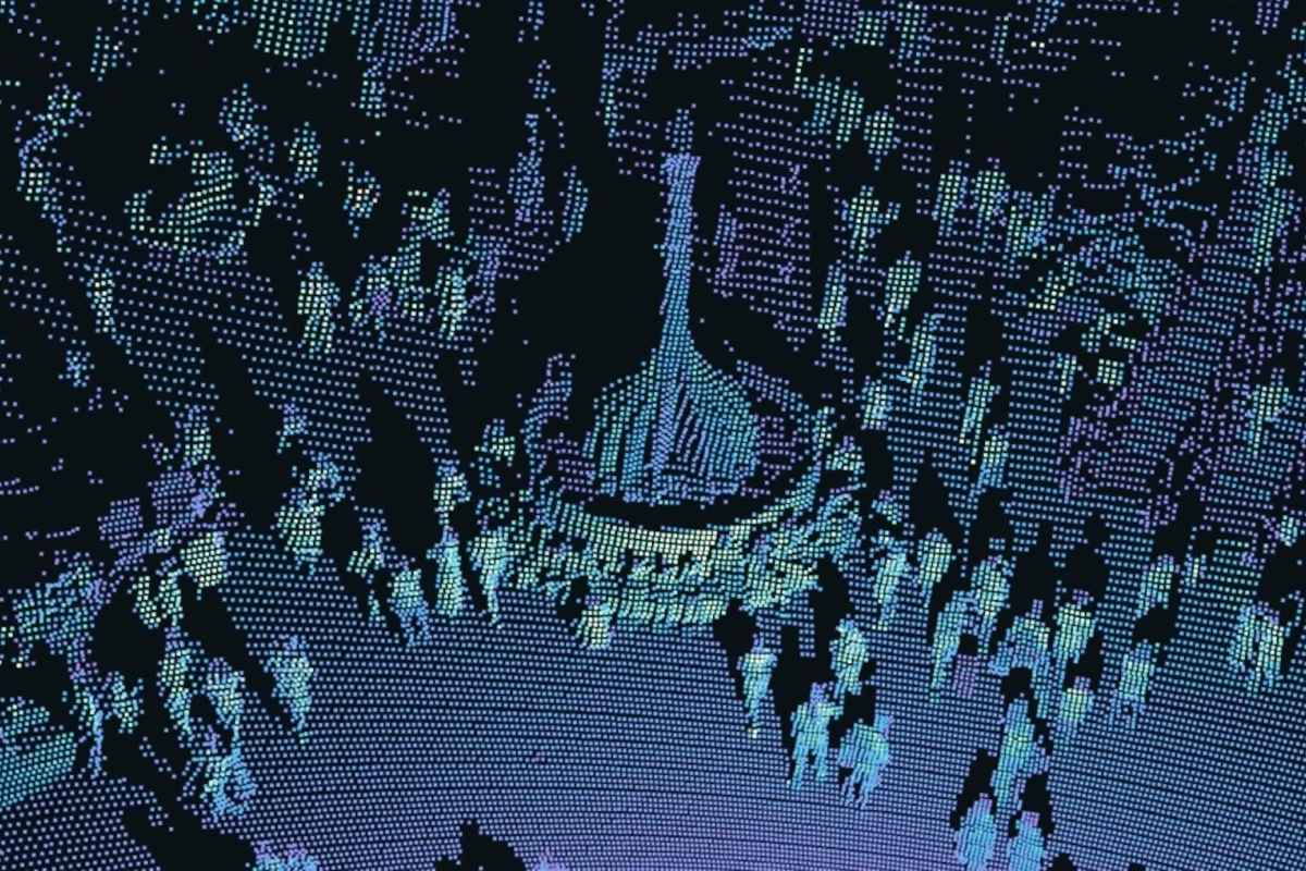
- 4X more resolution than common mapping sensors and an ultrawide FoV eliminates the need for multiple passes, tilting, or rotating sensors.
- A range double that of comparable sensors helps capture features at a distance, improving efficiency per scan and reducing overall mapping time.
- Better accuracy and precision helps collect small details indoors and outdoors such as HVAC systems, conduits, water pipes, and power lines.
- High precision and accuracy to accurately map sharp corners.
Better tools in the hands of researchers
Research and universities.
Sensors, software, and developer tools aimed specifically at supporting innovation, research, and university funded projects.
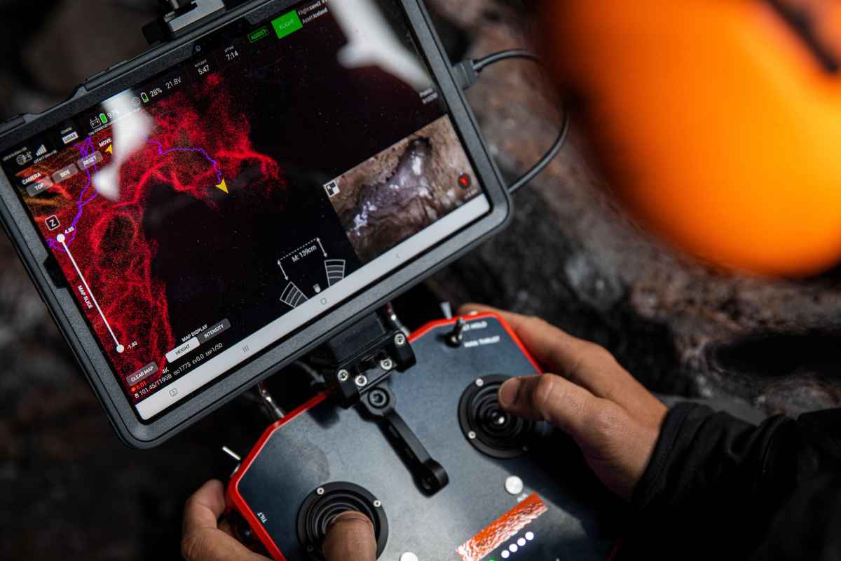
Python SDK, ROS and ROS2 drivers, C++ drivers can be leveraged for development.
Direct access to our engineers through our customer support team.
Sensor visualization and a rich sample data library helps develop applications at all project stages.
Strengthen autonomous support for every environment.
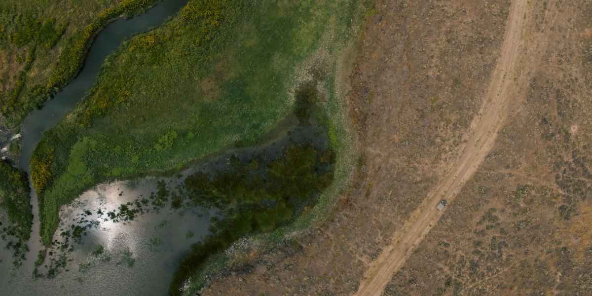
OS1 - RRAI
Military and defense.
We’re expanding the capabilities of on-ground personnel and soldiers with every kind of mission support.

Photo provided by US Department of Defense
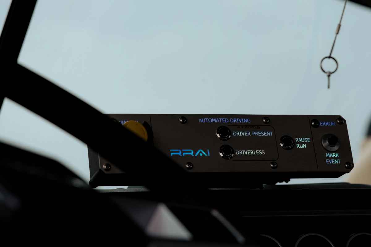
RRAI
- Lidar based localization allows navigation without a satellite connection.
- Better than GPS with location accuracy to CM levels of precision for hyper accurate maps and localization capabilities.
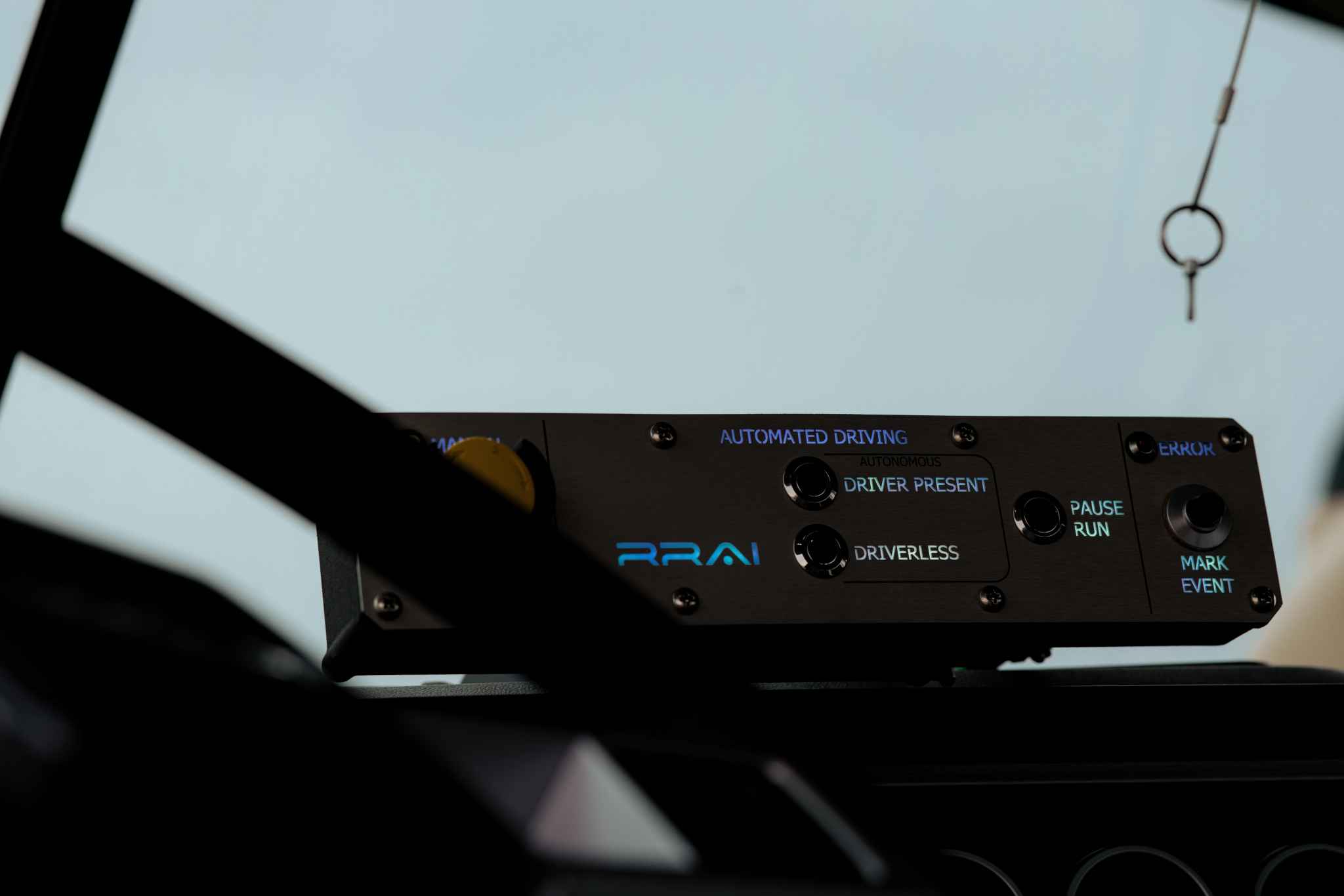
RRAI
Powered by the L3
The core of our OS lineup powers doubled range, 10x photon sensitivity, and 5.2m points per second.
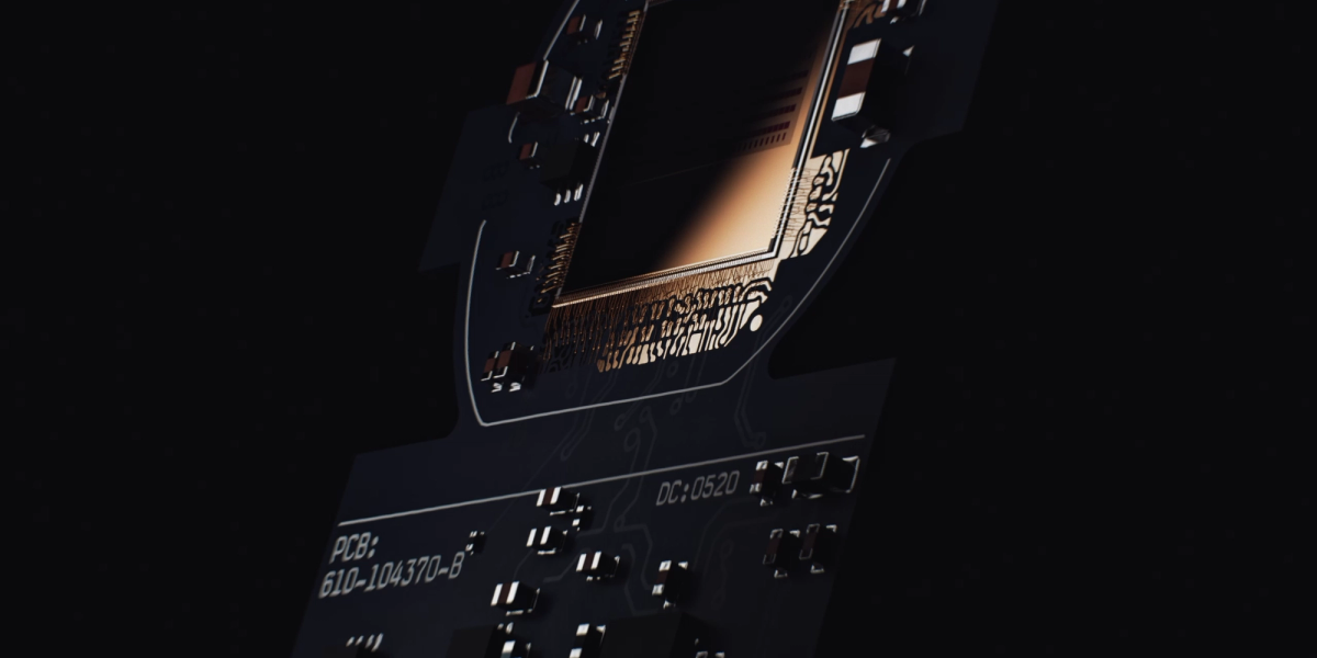
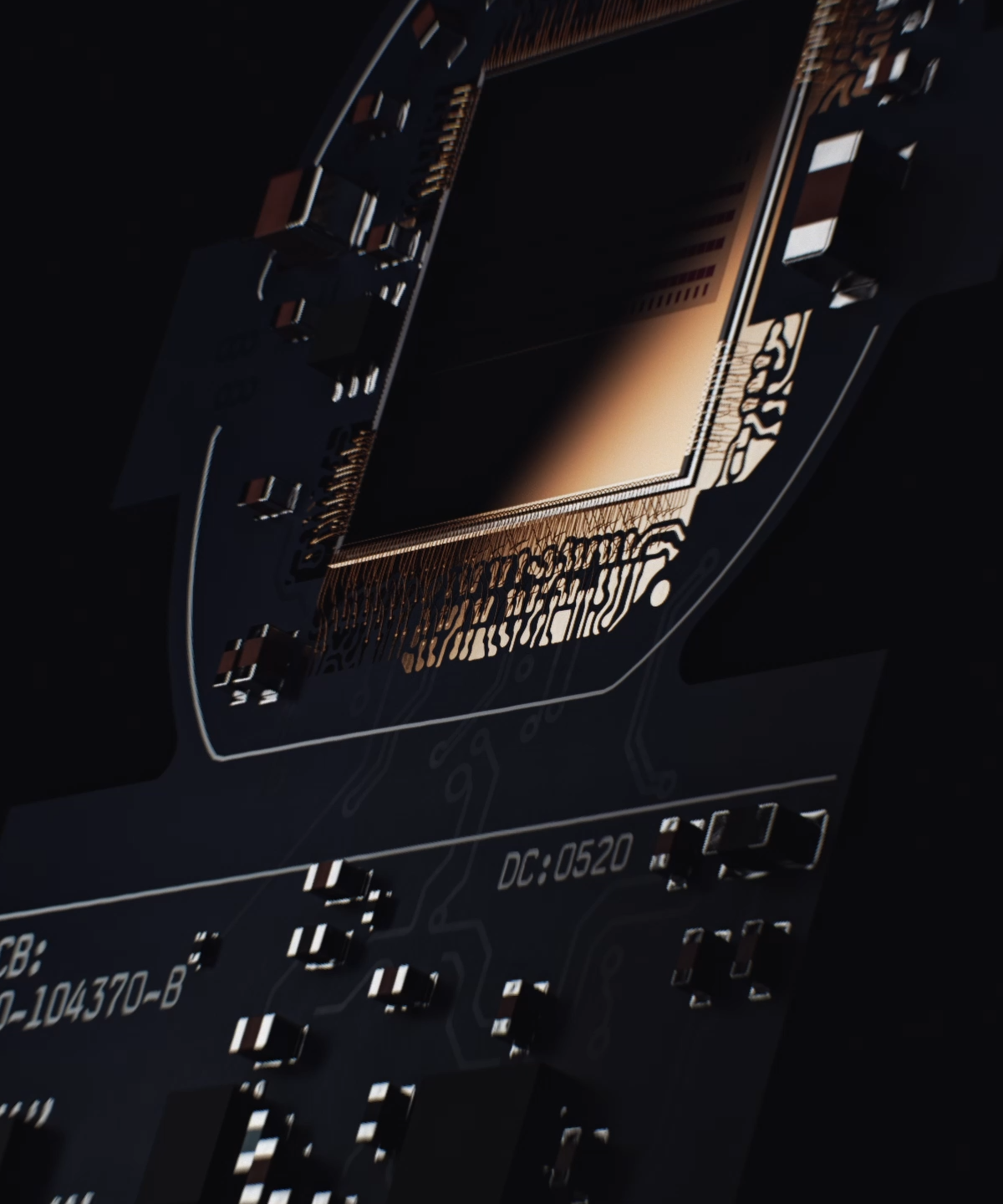
L3 Chip
21.47 Gmacs of signal processing and 125 Million Transistors on Chip
Improve Safety.
Our sensors are built to improve safety across industries. Keeping workers out of dangerous scenarios and unhealthy environments as well as powering robotics that work on avalanche control, bomb, and landmine diffusion are all examples of how Ouster is at the core of a safer world.
Reduce cost & complexity.
3D lidar helps reduce avoidable accidents that lead to unnecessary costs while dependable robotics lead to predictable scheduling. Helping workers avoid errors, opening up the possibility of inspection in unreachable locations, and allowing for predictable and consistent goods movement in commerce warehouses have already saved customers millions of dollars.
Improve efficiency.
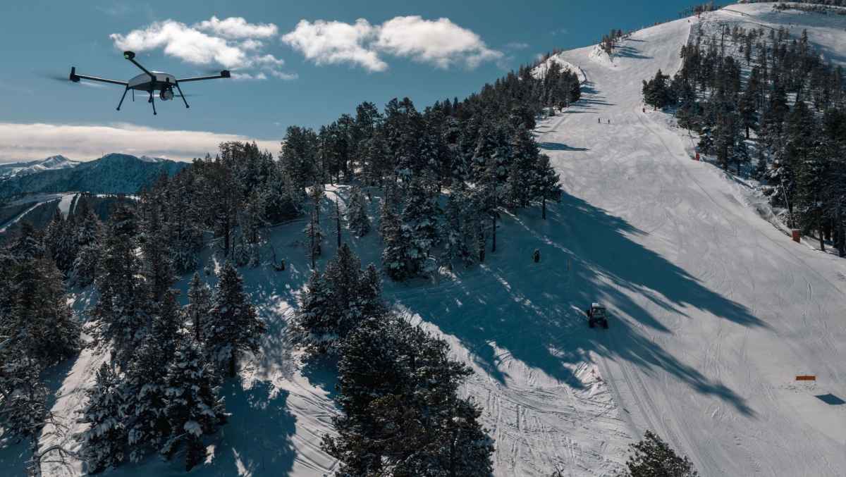
Low maintenance sensors and high accuracy means increased efficiency in all industries. Reducing inspection times by 90-95%, extending ski resort operations by weeks per season, and powering autonomous and human free flights for drone applications are all ways that Ouster is improving efficiency and giving back time to our customers.
Hardware Products
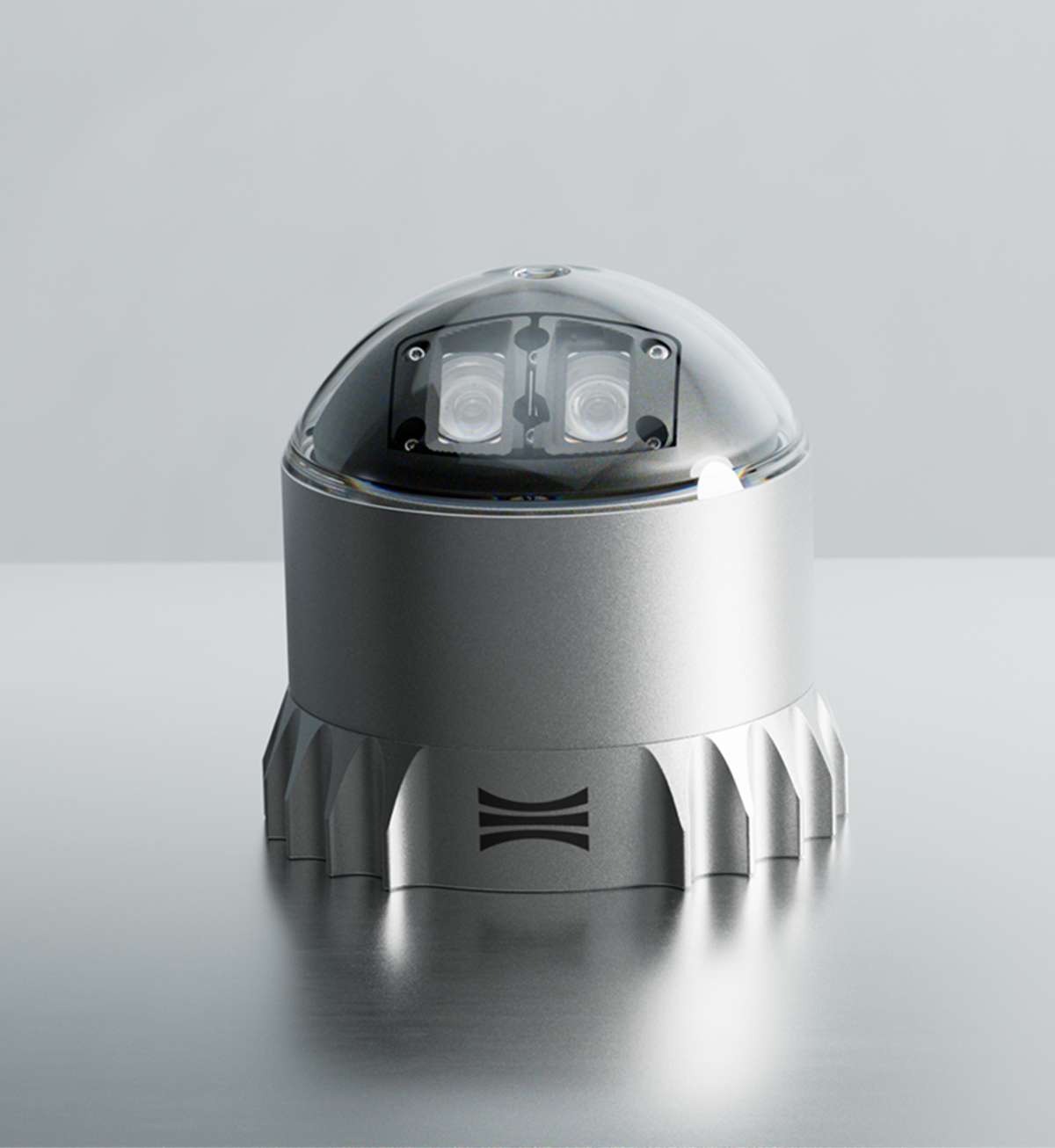
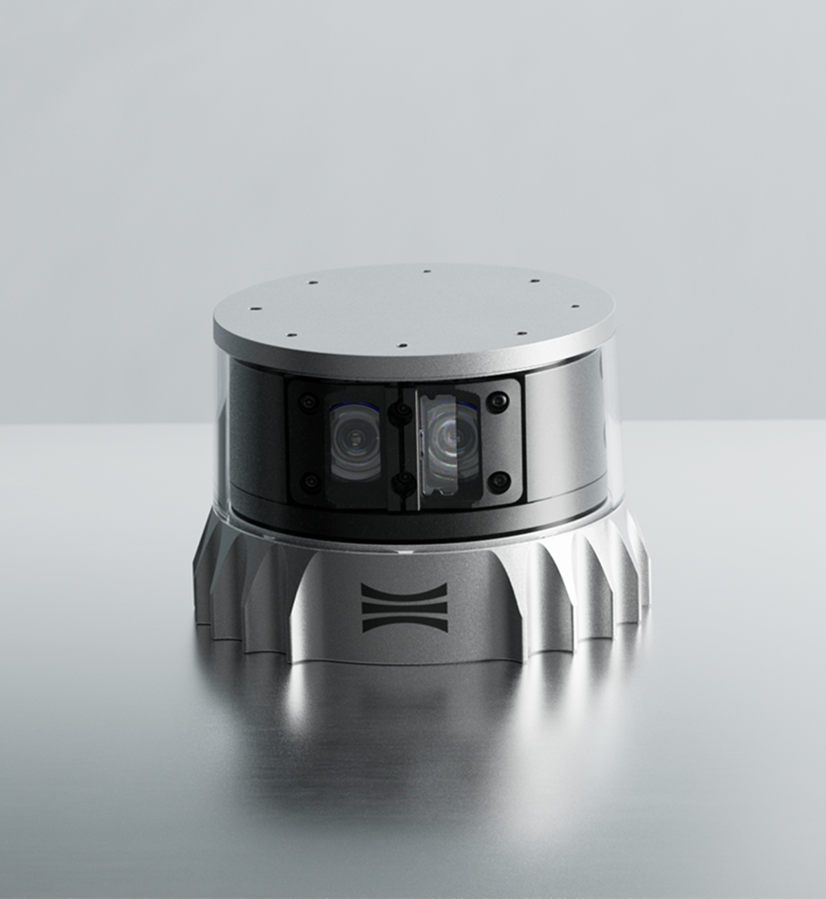
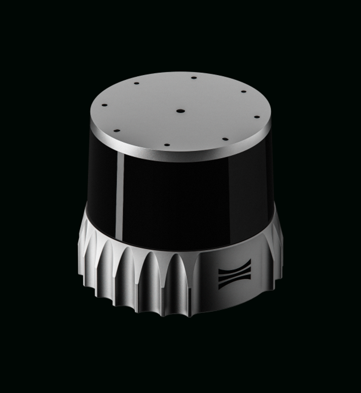
Our new REV7 sensors

Talk to our lidar experts for more information.

Find a partner near you.
Talk to our lidar experts for more information.