

How Mobile Robots Use Polaris3D’s Mapping Platform with Ouster Lidar to Perform More Efficient Tasks


Advances in technology and affordability are driving higher levels of automation for mobile robots
For the last decade, mobile robots have been limited to simple tasks like moving along established routes and rudimentary obstacle avoidance. Now, with significant advances in the performance and affordability of autonomous technology, there is an opportunity to add higher levels of intelligence to these machines. Mobile robots can be automated to serve the needs of increasingly diverse applications, including autonomous delivery, handling, and inspections.
In order to reach higher levels of automation, the robots must be capable of autonomous localization, navigation, and route-planning. One of the fundamental technologies behind this capability is Simultaneous Localization and Mapping (SLAM).
3D SLAM greater machine intelligence
SLAM is a computational method used for autonomous vehicles that lets you build a map and localize your vehicle in that map at the same time. SLAM algorithms allow the vehicle to map out unknown environments and can be realized by a variety of sensors, including cameras, radars and various types of lidars. Among them, cameras and radars are the most widely used because of their low cost. However, cameras only provide 2D data and do not perform well in low light conditions, while radar has low accuracy. Another common technology used is 2D lidar. Although more spatially aware than cameras and higher resolution than radar, 2D lidar can only perceive objects and localize based on data points on a single plane. This significantly limits the accuracy of SLAM algorithms and safe operation of a robot. 3D lidar, however, can provide distance information with accuracy down to the centimeter level while simultaneously giving the robot a more comprehensive view of its surroundings. This level of data makes it possible to construct high-resolution 3D maps to enable mobile robots to perform more intelligent tasks.

Polaris3D enables mapping, anytime and anywhere with Ouster lidar
Polaris3D is a company developing and supplying autonomous navigation solutions based on SLAM technology. Polaris3D has launched a mobile mapping platform, KEPLER M, for rapid and accurate scanning which integrates Ouster lidar with its localization algorithms. Customers can use this scanner for mapping, data processing, localization and real-time data viewing.

KEPLER M is compact enough to fit in your hand but powerful enough to process and view high quality map data. It can be easily integrated into different operating platforms, including warehouse robots, delivery robots, forklifts, and service robots.

The 3D mapping platform can serve both indoor and outdoor applications
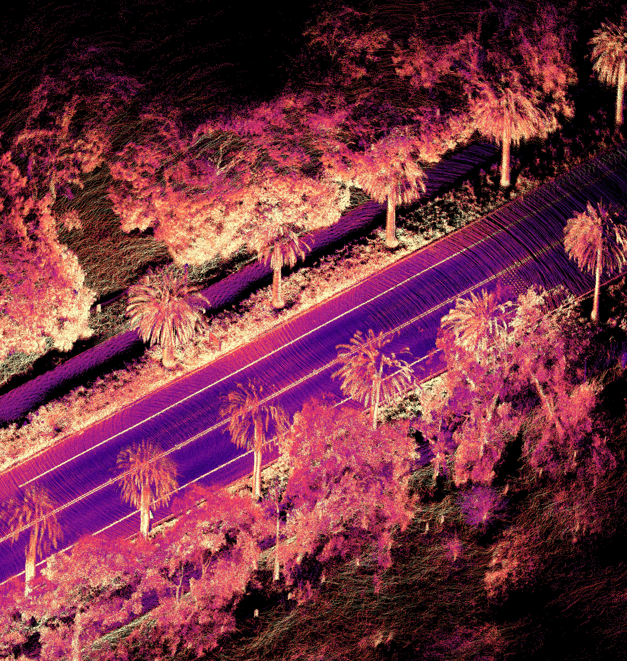
The KEPLER M platform can meet the requirements of both exterior and larger-scale interior environments by leveraging different Ouster lidar sensors. For exterior mapping, KEPLER M can quickly and easily map an environment with a range of up to 120 meters and a vertical resolution of up to 128 channels using the Ouster OS1 sensor. This enables customers to create detailed maps that capture ground-level surface features, signs, curbs, and poles within a matter of minutes. Another major benefit of using Ouster lidar for mapping is sensor stability when scanning environments with a lot of vibration.


For indoor mapping, the KEPLER M leverages the OS0 to provide an ultra-wide vertical field of view of 90 degrees. This enables customers to, for example, see entire shelving units in a warehouse. Such a wide field of view can help speed up indoor 3D mapping as well as allow the sensor to capture additional unique features for improved localization.


End-users are leveraging 3D mapping with digital lidar for autonomy, today
The KEPLER M platform has already won end-users including: Samsung Heavy Industries, POSCO – a major South Korean steel-making company, E-Mart – the largest retailer in South Korea, the Korea Institute of Science and Technology (KEPCO), the Korean Electronics and Telecommunications Research Institute (ETRI), and the Korea Institute of Science and Technology (KIST).
High resolution, 3D digital lidar is key to enabling greater levels of autonomy. The partnership between Ouster and Polaris3D makes it easy for customers to equip mobile robots with increased functionality in order to complete more complex and meaningful tasks with the highest levels of safety and efficiency.
Related Articles

Built to last: Why Ouster BlueCity is a rugged and reliable choice for ITS deployments
Defining a New Era of Durability in ITS
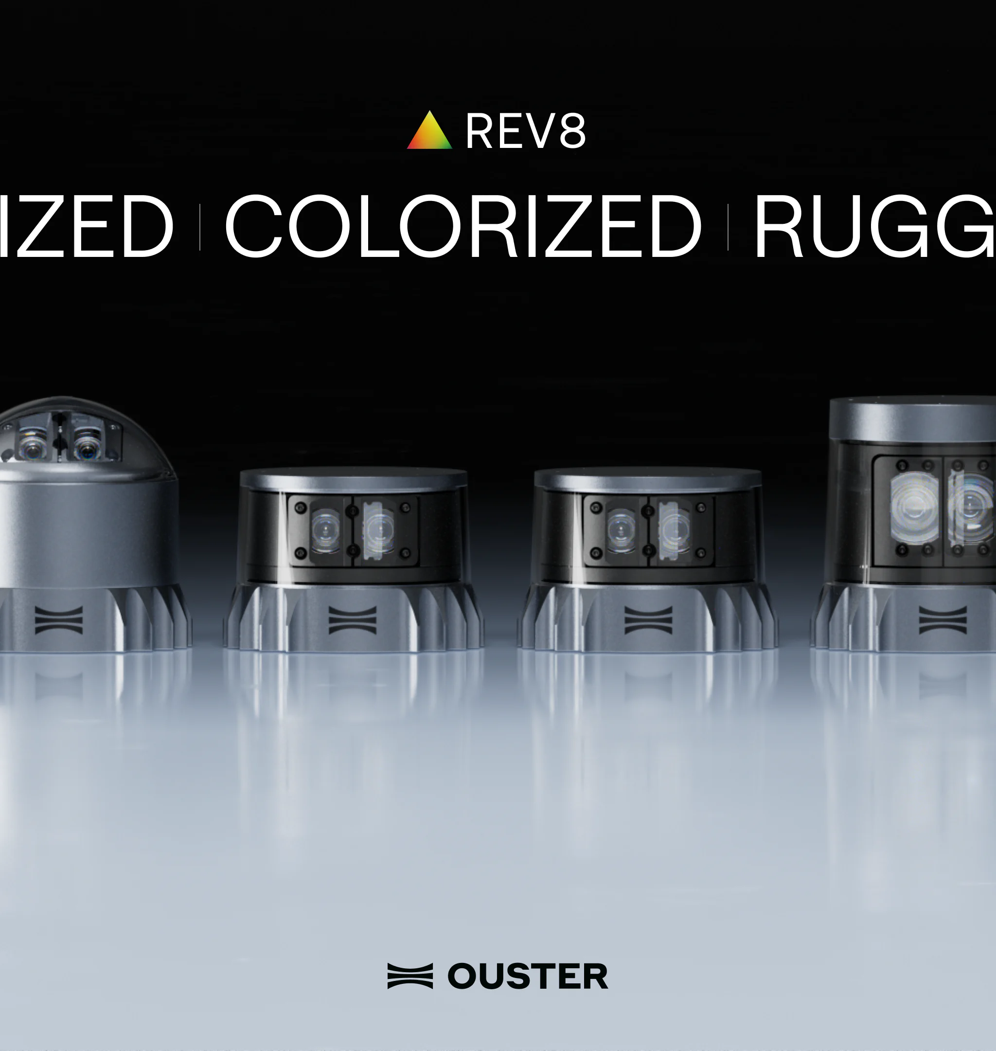
Introducing the REV8 OS Family: The World’s First Native Color Lidar
A new generation of Ouster digital lidar, powered by custom L4 Ouster Silicon. Rev8 introduces native color lidar, provides up to double the range and resolution, and is designed for functional safety, reliability, affordability, and scale.
Freie Universität: High-Precision, Small-Footprint Mapping
Researchers at Freie Universität Berlin are changing a storage paradigm for autonomous navigation. By using Ouster OS2 digital lidar to create ultra-lightweight bird's-eye-view maps, the team achieved sub-50cm localization accuracy with a map footprint of just 4 MB per square kilometer.