

Native Color, Long Range Lidar for Drone Mapping
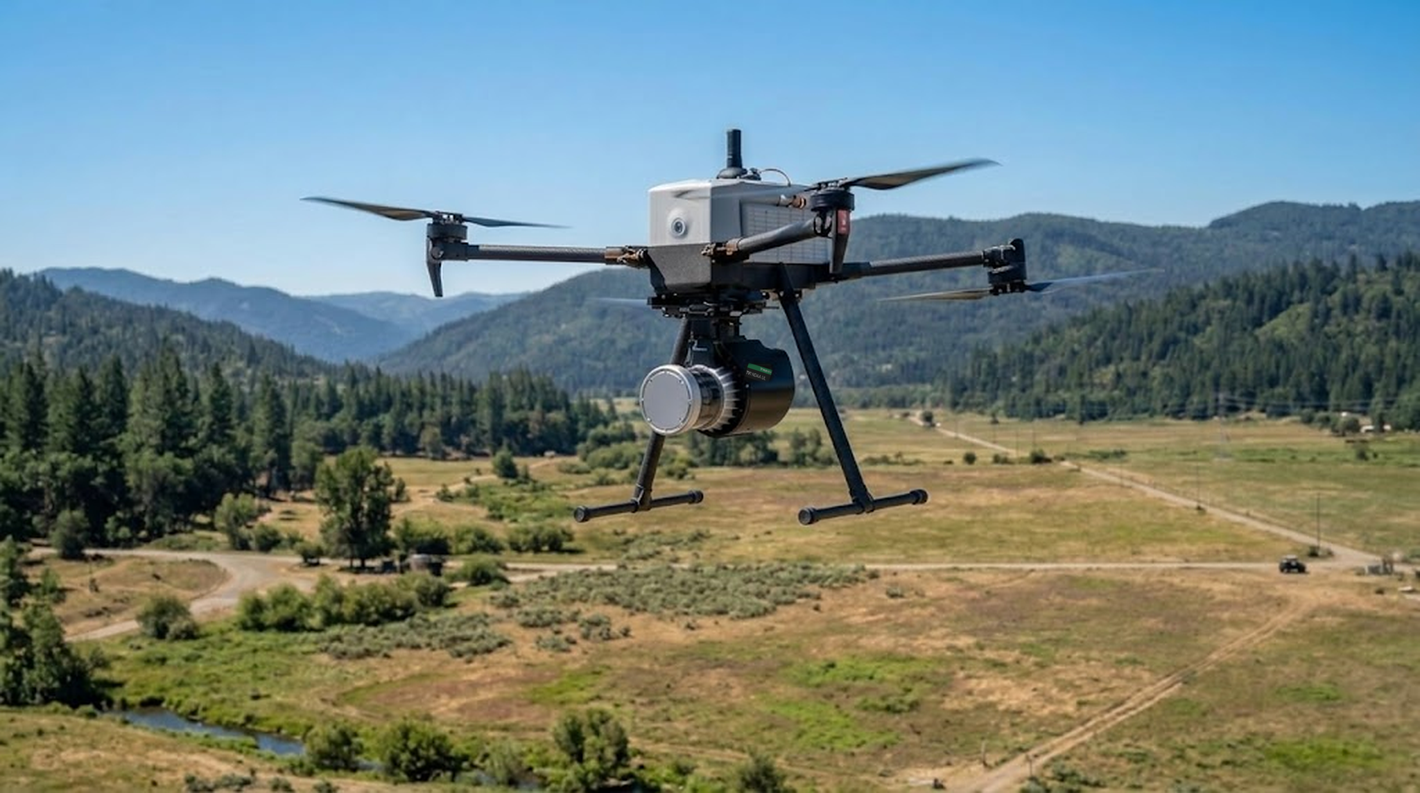
Long range, tight precision, and native color in every point, built for drone mapping. NDAA §164 compliant, with BABA-compliant options for infrastructure, corridor, and forestry programs.
Survey-grade precision and range, in native color. NDAA §164 compliant.
See Sample Datasets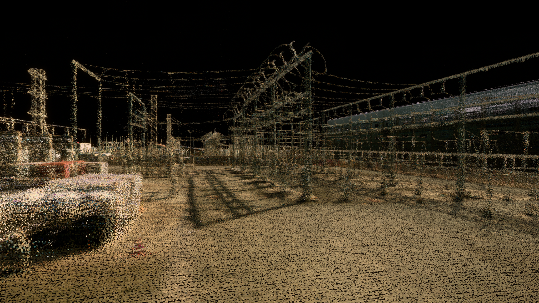
50% smaller spot size
A tight 0.09° beam with half the spot size of Rev7 resolves power lines, thin branches, and the ground beneath the tree canopy.
2x the precision and accuracy
Precision down to ±0.25 cm and ±1.25 cm accuracy, twice that of Rev7, produce clean, low-noise point clouds.

Fly 2x higher and 2x faster
With 200 m of range at 10% reflectivity and 10.4M points per second, scan 4x the area in the same flight time, without losing detail.
More range, more resolution, more from every flight
With The New Rev8 OS1 Max.
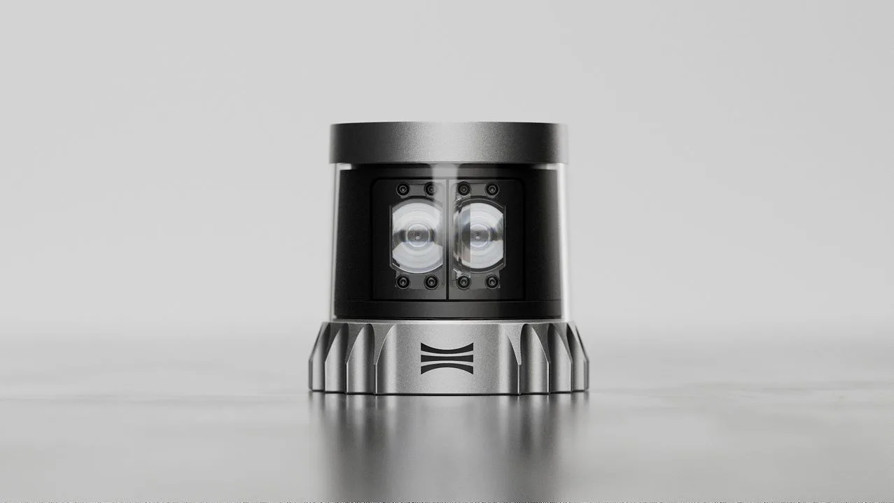
256 channels
48-bit native color RGB-D
200 m range @ 10% reflectivity
Crisp at 80-120 m altitude
0.09° beam divergence
50% smaller spot size compared to Rev7
±0.25 cm range precision (1σ)
±1.25 cm accuracy
116 dB native-color dynamic range
1 lux - 2M lux
-40°C / +85°C operating temperature
IP68 / IP69K
Built for capturing the real world.
Utility and Corridor Inspection
A tight 0.09° beam picks out wires and hardware, covering long corridors in fewer passes and catching defects earlier.

Forestry and Canopy Management
Urban Environment Surveying
Forestry and Canopy Management
See Sample DataA tight beam and 256 channels map dense forest canopy at high resolution, covering large stands in fewer flights.
Urban Environment Surveying
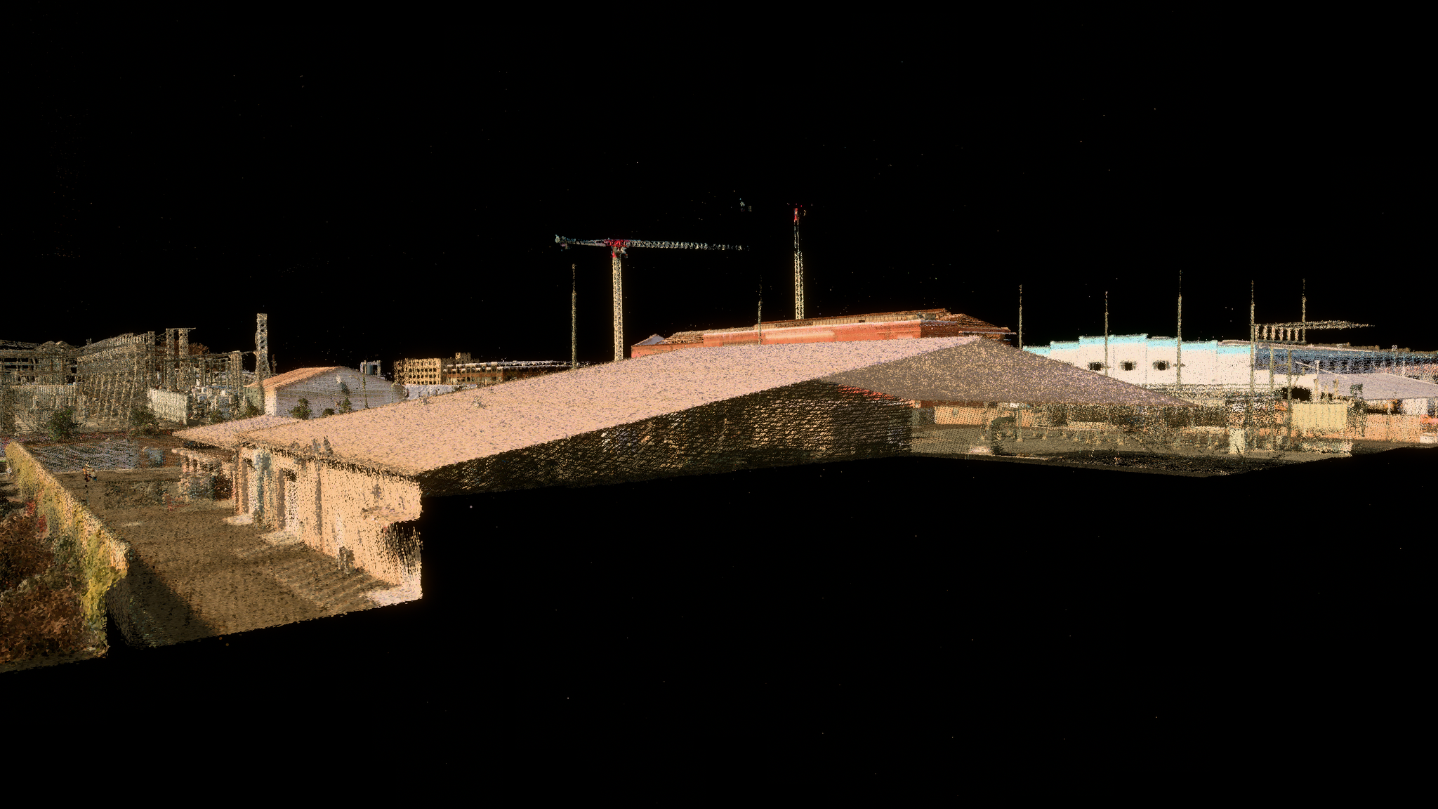
See Sample DataHigh-resolution, native color point clouds capture complex urban scenes cleanly, from facades to curb lines, NDAA §164 compliant and ready to use out of the box.
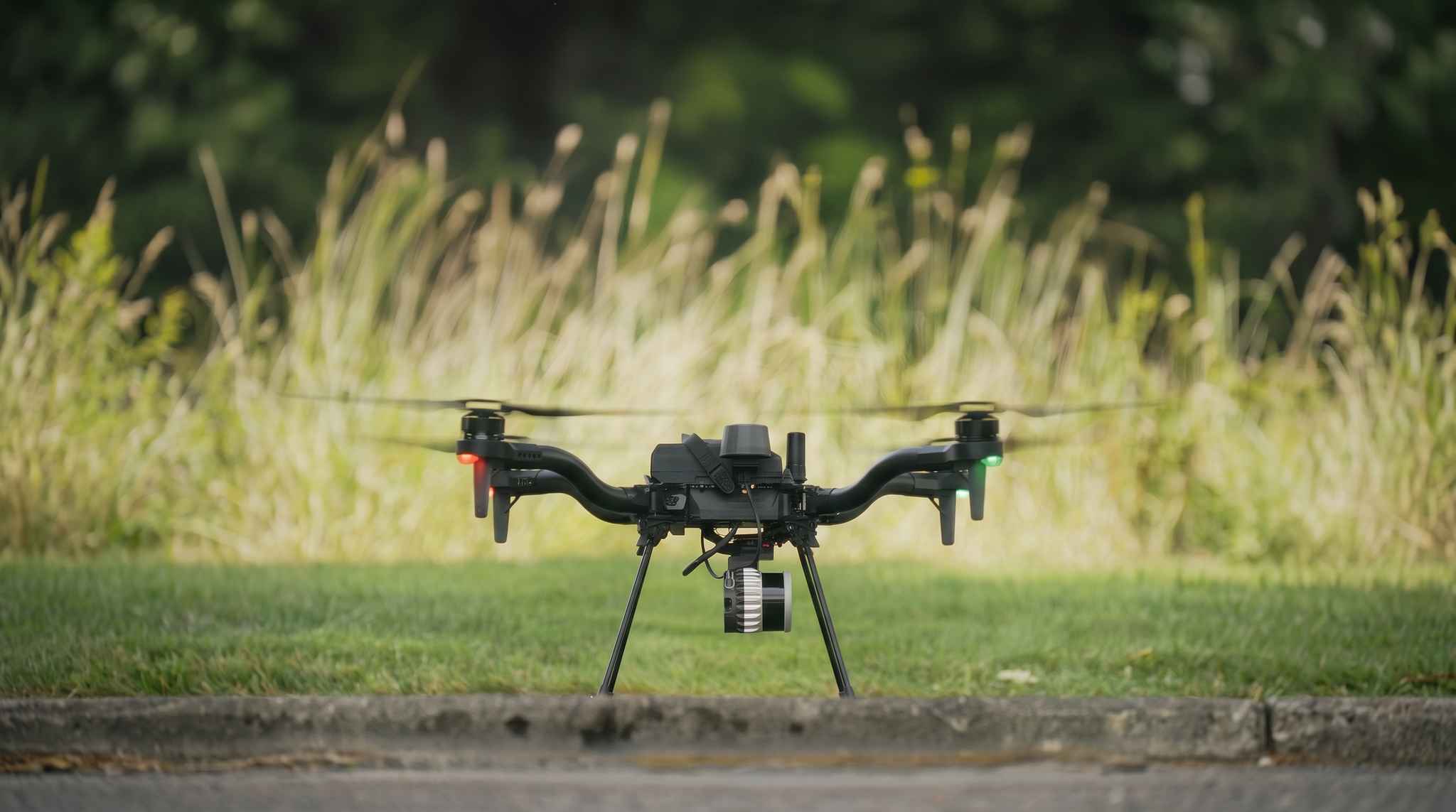

"Our Flux aerial mapping platform allows us to offer our customers a fully compliant, American-made digital lidar solution without sacrificing performance." -Tabb Firchau, CEO, Freefly Systems
"Our Flux aerial mapping platform allows us to offer our customers a fully compliant, American-made digital lidar solution without sacrificing performance." -Tabb Firchau, CEO, Freefly Systems

See what a drone can really capture.
Talk to our team about evaluation units, sample datasets, and integration support for any platform.