Flyability leverages Ouster's OS0 digital lidar for 3D mapping in hazardous, GPS-denied industrial environments
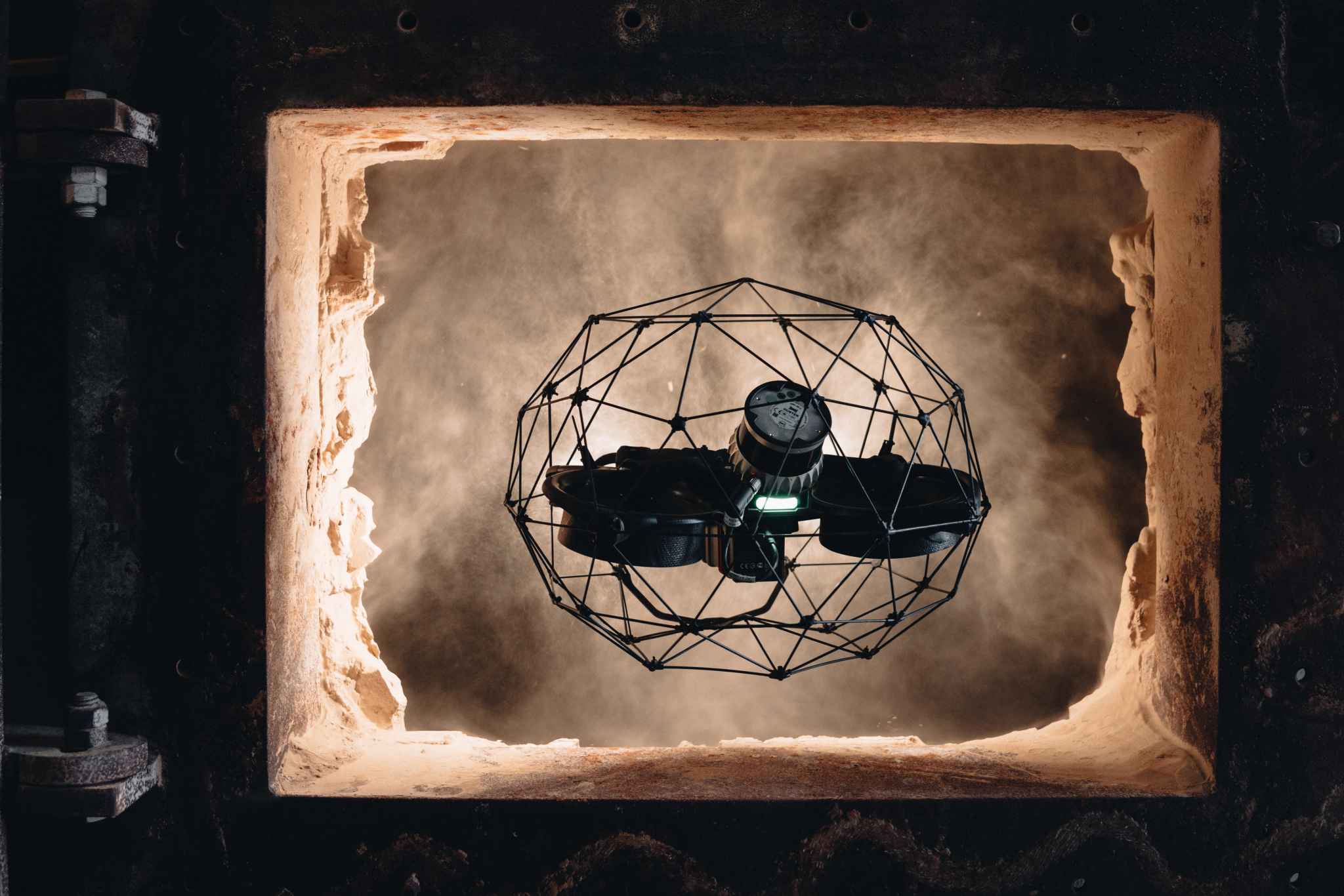
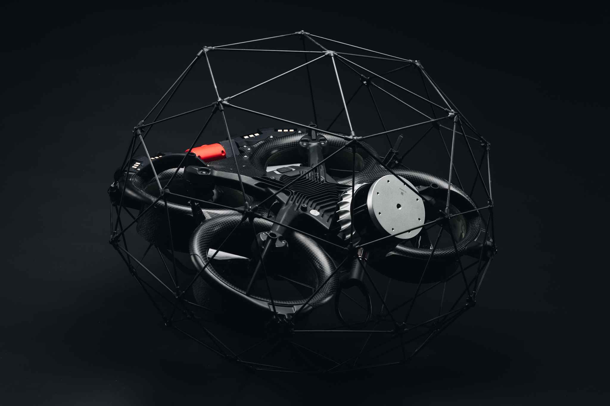
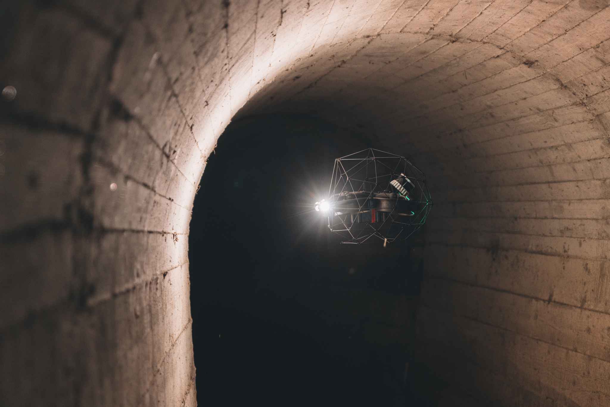
Flying inside boilers, sewers, mine shafts, and storage tanks where GPS does not reach, Flyability's collision-tolerant Elios 3 carries Ouster's OS0 digital lidar to bring back measurable 3D data from spaces no crew can safely enter.
A caged drone that flies where people cannot, and maps what it finds.
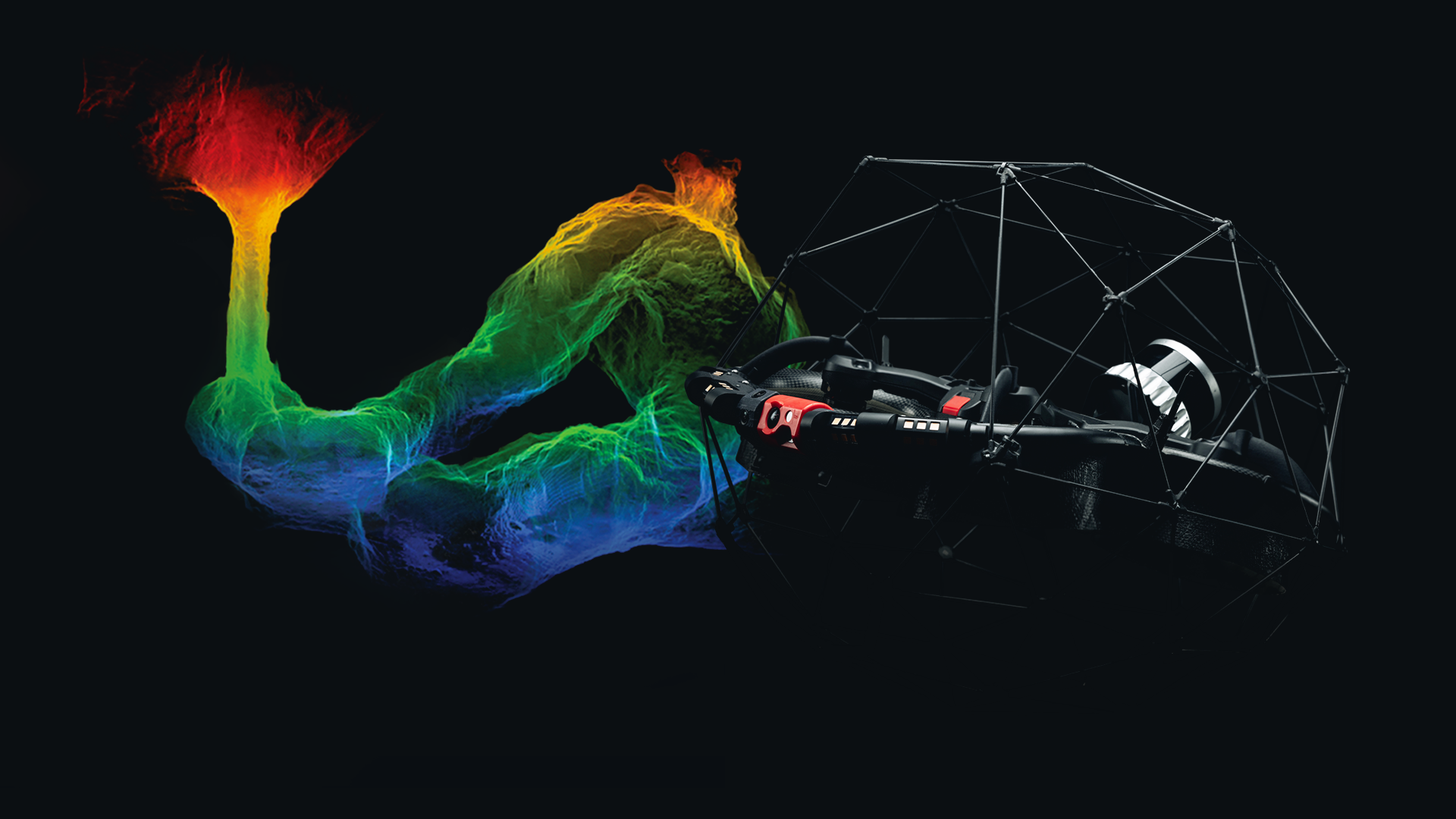
Flyability, based in Switzerland, builds the caged, collision-tolerant Elios drones that fly where no other aircraft safely can. The protective cage lets Elios work inches from obstacles inside tanks, vessels, and shafts, with semi-autonomous piloting and one-button autonomous return. Modular payloads for corrosion detection, thickness, and temperature turn the aircraft into a flying instrument for the industries with the most hazardous inspection work: nuclear, mining, chemical, oil and gas, maritime, power generation, and infrastructure.
The Challenge: Getting Data Out of Places People Should Not Go
Industrial assets still have to be inspected on a schedule, and many of the spaces that matter most are the ones hardest to reach. Inspecting a fuel tank, a mine shaft, or a nuclear vessel has traditionally meant sending a person inside. Three constraints make that difficult to improve on:
Entry is expensive before it is dangerous: A confined-space inspection means specialist training, permits, scaffolding, and often emptying the asset first, with days of downtime before anyone looks at anything.
Nothing conventional works in there: GPS is unavailable inside a vessel or a shaft, and conventional visual sensors are limited by total darkness, airborne dust, and surfaces with few distinctive visual features. A drone flying inches from obstacles has nothing to navigate by.
What comes back is partial: Manual inspection captures a fraction of the surface area, in records that describe conditions rather than measure them, which makes change over time hard to track.
Our collaboration with Ouster began with a shared ambition: to capture reliable 3D data in places where people should not have to go. Ouster's lidar has become a critical part of the Elios 3 mapping platform. Bringing our teams together at INTERGEO gives us the opportunity to show surveying professionals how aerial access and high-performance lidar are already changing the way complex industrial environments are documented and understood.
Adrien BriodCTO, Flyability
The Solution: Ultra-Wide 3D Sensing Inside a Collision-Tolerant Drone
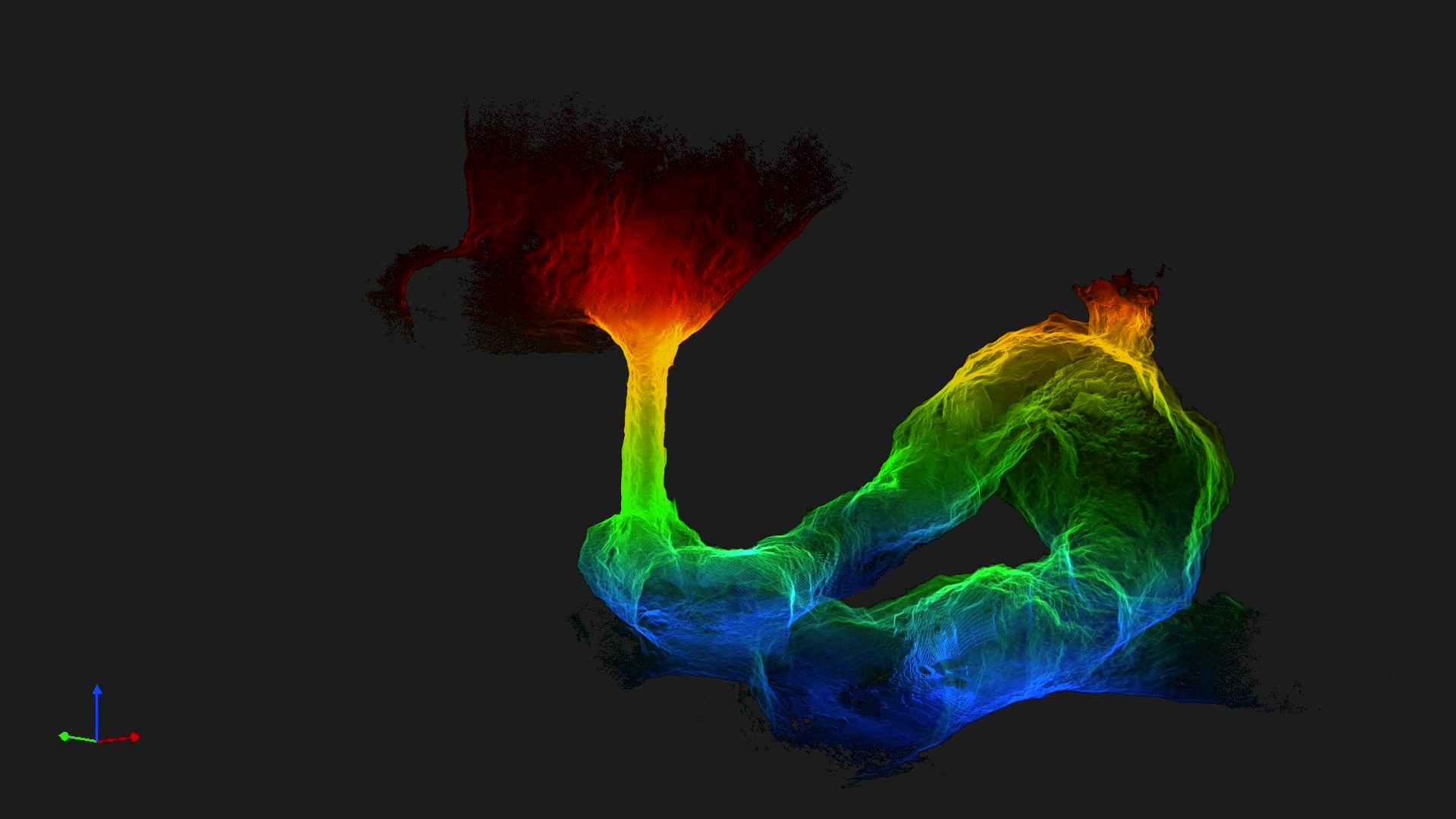
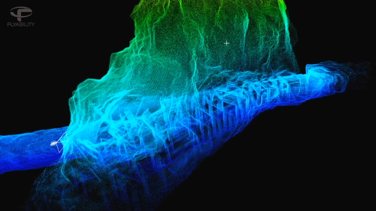
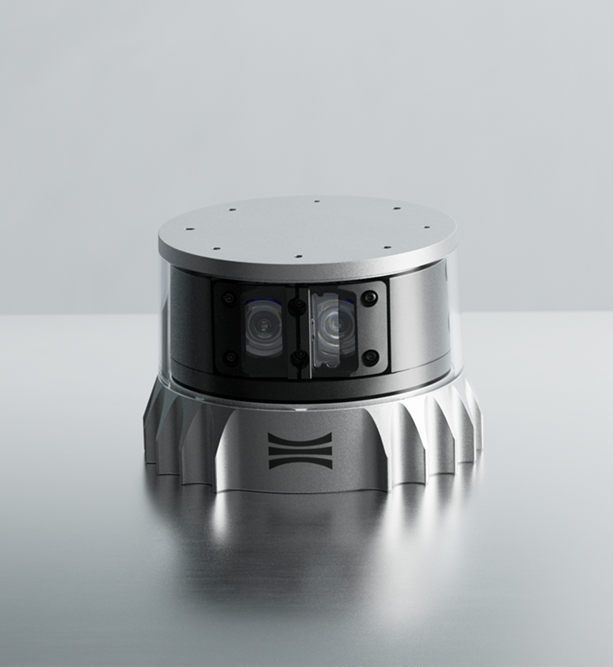
Ouster's compact, rugged OS0 provides the sensing layer. Its ultra-wide 90-degree vertical field of view sees above and below the horizon at once, which is the geometry a drone needs to navigate a vessel or a shaft with no GPS to lean on. Available in 32- and 128-channel configurations, the OS0 delivers centimeter-accurate point clouds dense enough for survey-grade maps from a sensor light enough for a small caged drone. Data from the Ouster lidar feeds Flyability's SLAM and mapping systems, supporting real-time localization, flight stability, and collision avoidance, and it lets Elios 3 operators capture measurable 3D representations of assets during the same inspection mission.
Flyability and Ouster have worked together for more than five years on the same problem: enabling reliable mapping and inspection in dangerous, dark, and GPS-denied environments.
Results: A Full Shift of Scanning in a Single Flight
The operational change is in what an inspection costs to run. Inspections that once took a full shift finish in minutes, coverage rises from roughly half the space to nearly all of it, and documented savings run to six figures per site. No emptying tanks, no scaffolding, no permits and prep, and no one sent into the danger zone to collect the data.
What the aircraft brings back is also different in kind. Combining visual inspection with high-density 3D mapping in a single mission produces measurable point cloud data rather than a photographic record, which supports dimensional analysis, documentation, and comparison of the same asset over time.
Flyability is now evaluating how the increased range, precision, and resolution of Ouster's Rev8 generation could enhance SLAM, mapping, and flight-path data capture for Elios 3 and future inspection workflows.