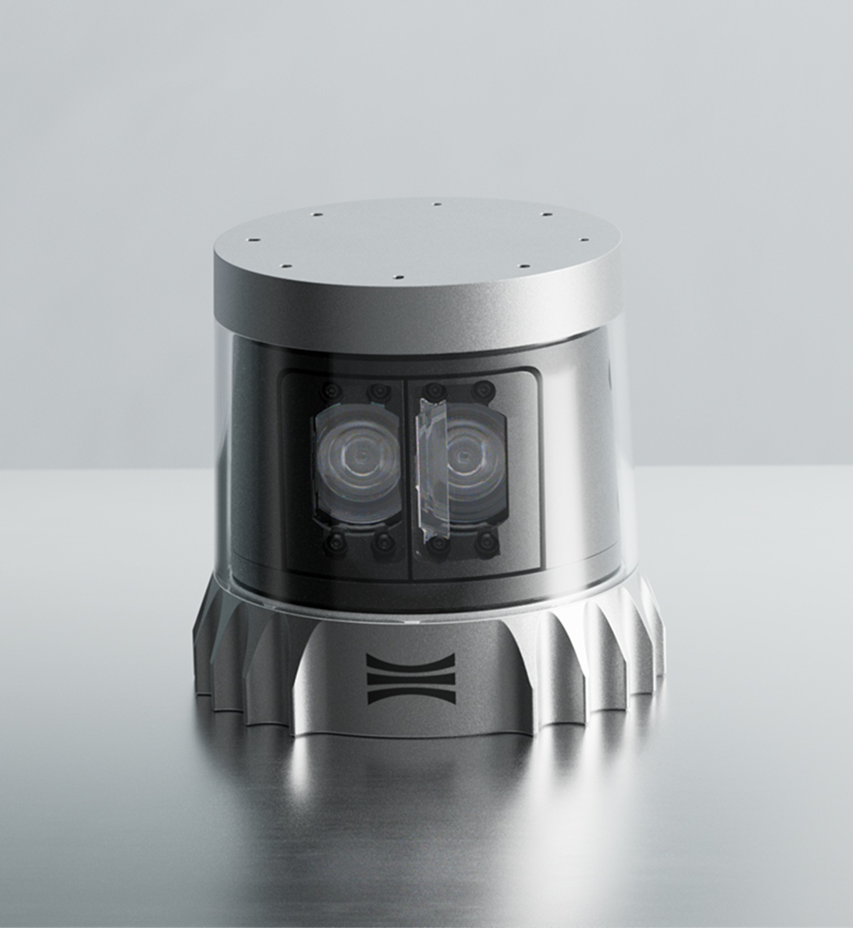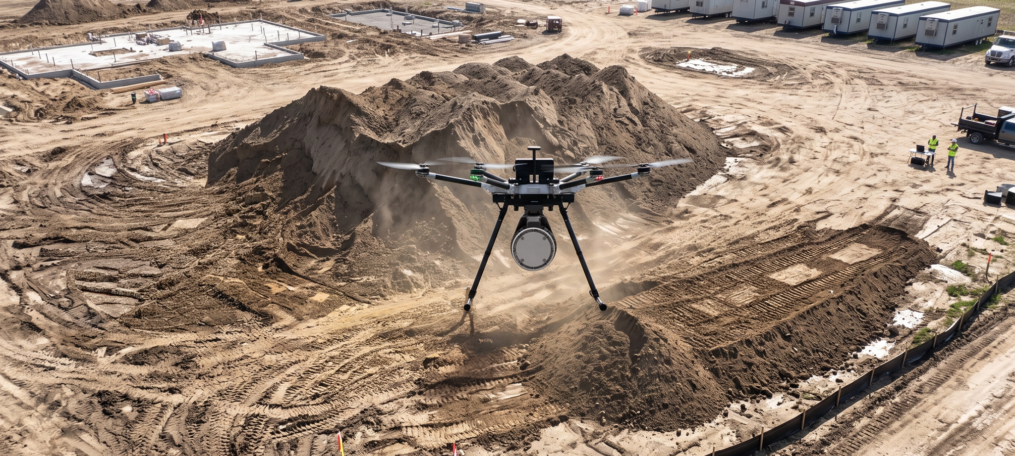
GeoCue leverages Ouster's Rev8 OS1 Max digital lidar for survey-grade drone mapping of utility corridors
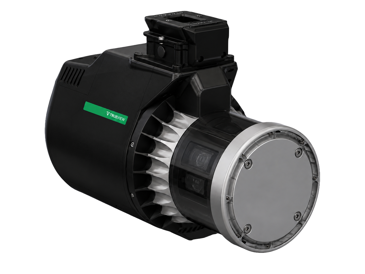
Working for the surveyors and utilities that map America's power lines and infrastructure, GeoCue is building its next generation of TrueView payloads around Ouster's native color Rev8 OS1 Max, a BABA and NDAA §164 compliant sensor.
The Challenge: Resolving a Power Line from a Legal Altitude
Utility surveying asks a drone payload to do two things that pull against each other. A power line is a few centimeters across, and it has to be resolved cleanly. The corridor it runs through can be hundreds of miles long, and it has to be covered efficiently. Three constraints shape what a sensor has to deliver:
Thin objects, small returns: Power lines, wires, and structural edges return very little signal compared with the ground beneath them. A lidar beam that spreads too wide smears them into the surrounding surface, and the deliverable loses exactly the feature the survey was flown for.
Detail or coverage, rarely both: Flying low preserves detail but shrinks the swath, so a corridor takes more passes and more battery changes. Range is what determines whether an operator can work at the altitudes where the aircraft is cleared to fly and still bring back usable data.
A narrower field of approved hardware: Government, utility, and critical infrastructure programs increasingly carry domestic production requirements, which limits which sensors a payload maker can build around without asking customers to trade away performance.
We are moving America's drone surveying onto American sensing by pairing our TrueView payloads with Ouster's Rev8 OS1 Max. This transition allows us to offer our customers a compliant, high-performance solution that delivers the survey-grade data they depend on for critical infrastructure monitoring and large-scale mapping projects.
Frank DarmayanCEO, GeoCue
The Solution: The Rev8 OS1 Max Inside the Next TrueView Payloads
The OS1 Max contributes the sensing layer. It delivers twice the precision and accuracy of the previous Rev7 generation, reaching ±0.25 cm 1σ precision and ±1.25 cm accuracy, so points sit tighter on the surfaces they represent. A smaller spot size and tighter beam let TrueView payloads resolve thin objects such as power lines and structural edges. Longer range, 200 meters at 10% reflectivity, clears altitude restrictions around utility corridors and lets operators fly higher while maintaining data quality. With 256 channels in 2K and 4K modes, point density holds up at fast flight speeds, supporting long-corridor surveys by propeller and fixed-wing aircraft. The sensor also captures native color in addition to 3D lidar data, so every point arrives inherently aligned to its color. Alongside the dual cameras in every TrueView payload, that gives LP360 an additional RGB reference for registering camera imagery to the point cloud, enabling tighter sensor fusion.
Ouster and GeoCue selected the Rev8 OS1 Max after joint flight testing and firmware tuning in Huntsville, Alabama.

Results: Fewer Passes, Cleaner Deliverables, and Access to Domestic Programs
The combination changes what a single flight line can carry. Higher altitude means a wider swath, and holding density at speed means the swath does not thin out when the aircraft flies faster. For a surveyor working a long corridor, that is fewer passes and fewer battery changes to cover the same ground, with the thin-object detail that utility work is bought on still intact.
Color arrives with the geometry rather than after it. Because the OS1 Max captures color in the same sensor, the point cloud reaching LP360 already carries RGB values aligned to each point, which gives the camera imagery a directly registered reference to fuse against.
The Rev8 OS1 Max is also Build America, Buy America Act (BABA) compliant and NDAA §164 compliant. For GeoCue customers with domestic production requirements, that means a high-performance option without technical compromises, and for GeoCue it means the same payload line can serve both commercial and domestically constrained programs.