
The Drone Mapping Summit
Spend 90 minutes with the team behind Rev8. Discover the innovations reshaping lidar mapping, learn how to get the most from the OS1 Max in a hands-on drone mapping masterclass, and hear industry leaders from GeoCue, Seneca, and Flyability share where the field is going.
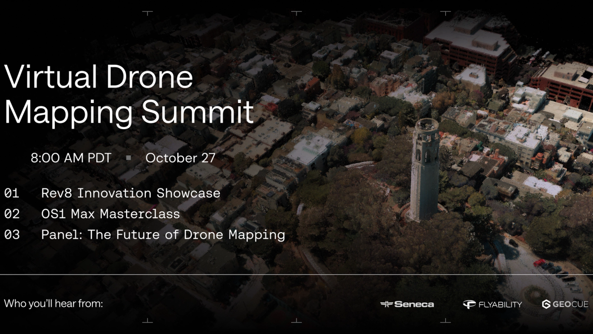
LIVE WEBINAR · REV8 OS1 MAX
Ouster is bringing native color, survey-grade lidar to drone mapping with the Rev8 OS1 Max. In this live session, our team and our customers show what the sensor makes possible, how to get the most out of it, and where the industry is going next. Whether you build mapping payloads, fly them, or process the data, you'll leave with practical ways to sharpen your point clouds, speed up your workflow, and grow your place in the field. Registration is free, and every registrant gets the recording, even if you can't join live. Register below to attend.
- Date: Tuesday, October 27, 2026
- Time: 8:00 AM PT · 11:00 AM ET · 4:00 PM GMT
- Runtime: 90 minutes, live
- Featuring: GeoCue, Seneca, and Flyability
Agenda
01 · Rev8 Innovations Showcase (20 min)
What's new with Rev8 and why it matters for mapping: native color, precision, range, and the compact OS1 Max form factor. A fast tour of the capabilities behind Ouster's newest line of sensors.
02 · Masterclass: Get the Most from OS1 Max (20 min)
A hands-on walkthrough of the full workflow. Start with the firmware settings that let you collect data the best possible way. Use Ouster Studio to get ready-to-use drone datasets for testing and evaluation. Then use the Ouster SDK to turn raw captures into clean, colorized maps with simple, easy-to-use CLI commands. You'll leave with a ton of practical tips you can use on your next flight.
- Firmware settings for the best possible capture
- Ready-to-use drone datasets in Ouster Studio, for testing and evaluation
- Raw captures to colorized maps with the Ouster SDK, in a few CLI commands
03 · Panel: The Future of Drone Mapping (50 min: 30 discussion, 20 live Q&A)
Where the industry is heading, the hard problems, the innovation reshaping the field, how policy and geopolitics move the market, and how to build a career in it.
What you'll walk away with
- The Rev8 OS1 Max capabilities that matter for mapping, in one place.
- A repeatable capture-to-map workflow: firmware settings, Ouster Studio datasets, and SDK CLI commands for colorized maps.
- Ready-to-use OS1 Max sample datasets to download and test.
- A clear view of where the industry is heading, the challenges, the innovations, and how policy shapes the market.
- Career guidance to grow your place in drone mapping.
- Answers to your own questions in live Q&A.
Who you'll hear from
Customers
Drone industry leaders from GeoCue, Seneca, and Flyability.
Ouster
- Krishtof Korda, Global Director of Field Application Engineering
- Matthew Bries, Senior Software Engineer
- Shubhankar Bhagwat, Product Marketing Manager (Moderator)
Who it's for
- Drone and payload integrators building mapping systems
- Survey and mapping service providers
- Drone OEMs evaluating lidar
- GIS, engineering, and infrastructure teams that work with point cloud data
- Anyone weighing a compliant, native color lidar for mapping
- Newcomers who want to break into and grow in drone mapping
OS1 Max sample data
We're releasing a set of OS1 Max drone captures for anyone to explore: power line corridors, dense canopy, and urban survey, all in native color. Register for the summit to be among the first to download them.