Native color, BABA-compliant lidar for drone mapping
The BABA-compliant lidar with the survey-grade precision, long range and native color that drone mapping teams need. Built for infrastructure, corridor, and forestry work.
Meets Build America, Buy America requirements, so your deliverables qualify for federally funded infrastructure work.
A secure supply chain, documented end to end, so procurement can verify it with confidence.
Trusted for the utility, infrastructure, and public-sector programs where compliance is non-negotiable.
Every point, born in color.
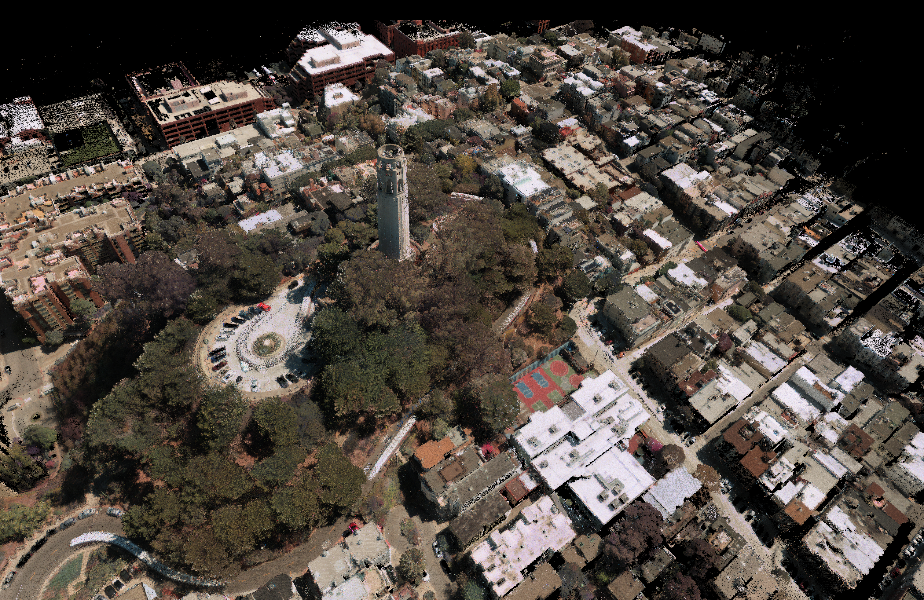
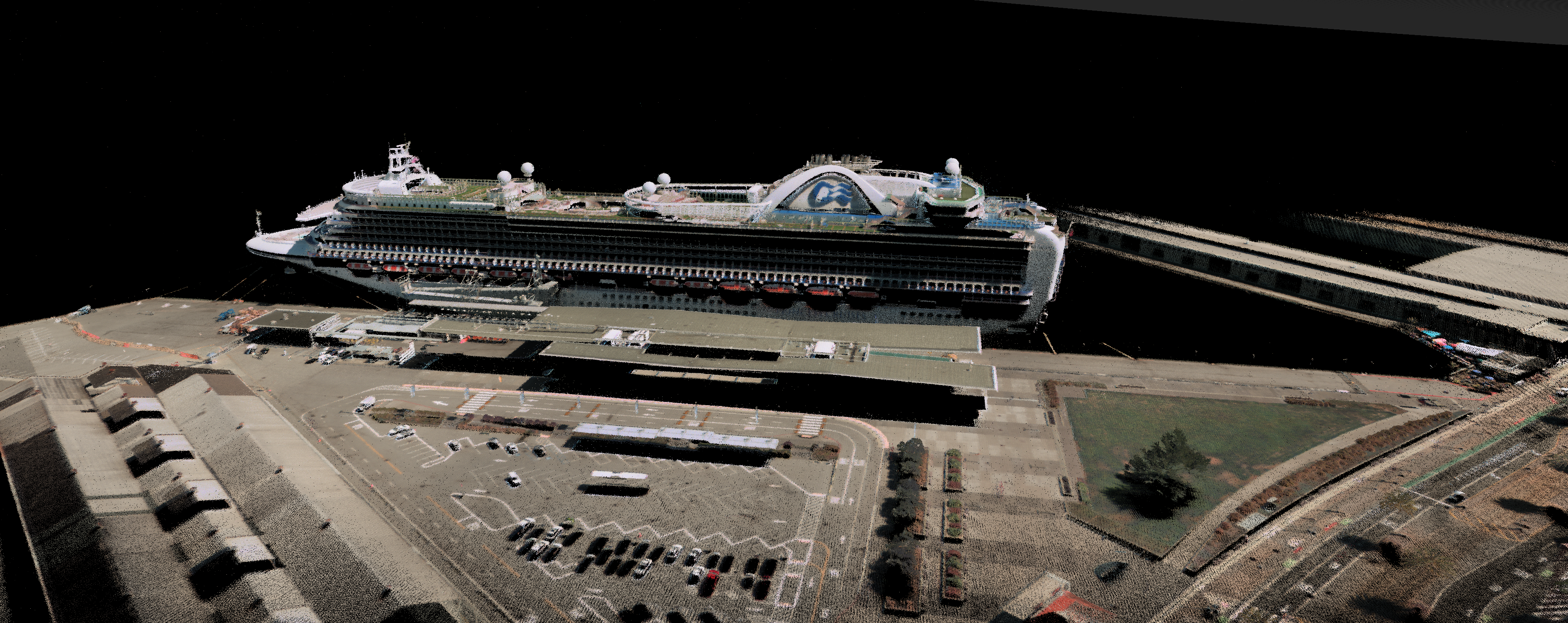
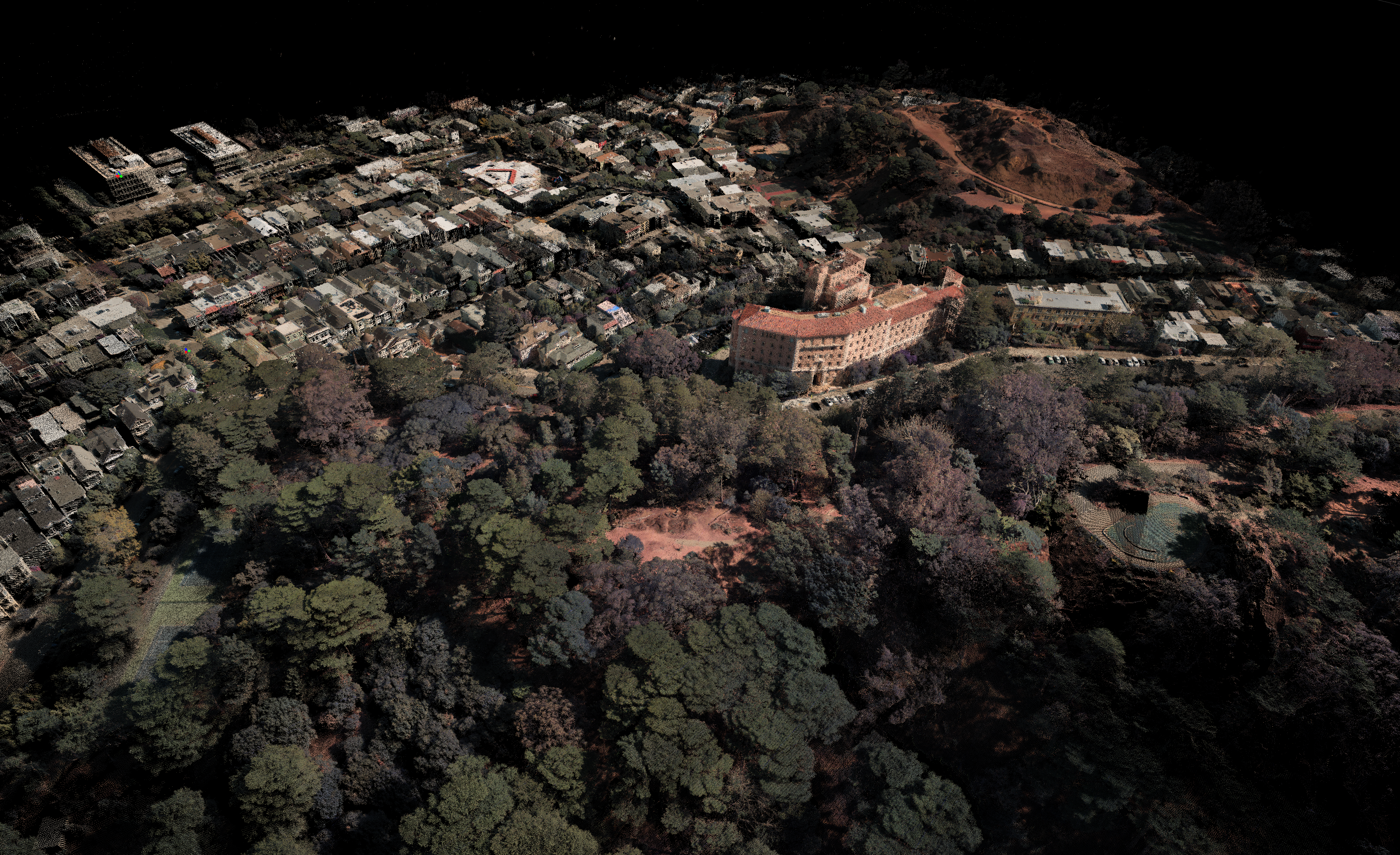
OS1 Max fuses color inside the sensor, perfectly registered to the geometry, for a clean color reference that drops into your workflow with no parallax, calibration, or smearing to fix. For handheld mapping, it can even replace a dedicated camera.
A tight 0.09° beam, ±0.25 cm precision, and ±1.25 cm range accuracy let OS1 Max pick out thin wires, sharp edges, and fine structure, and see through canopy gaps to the ground below.
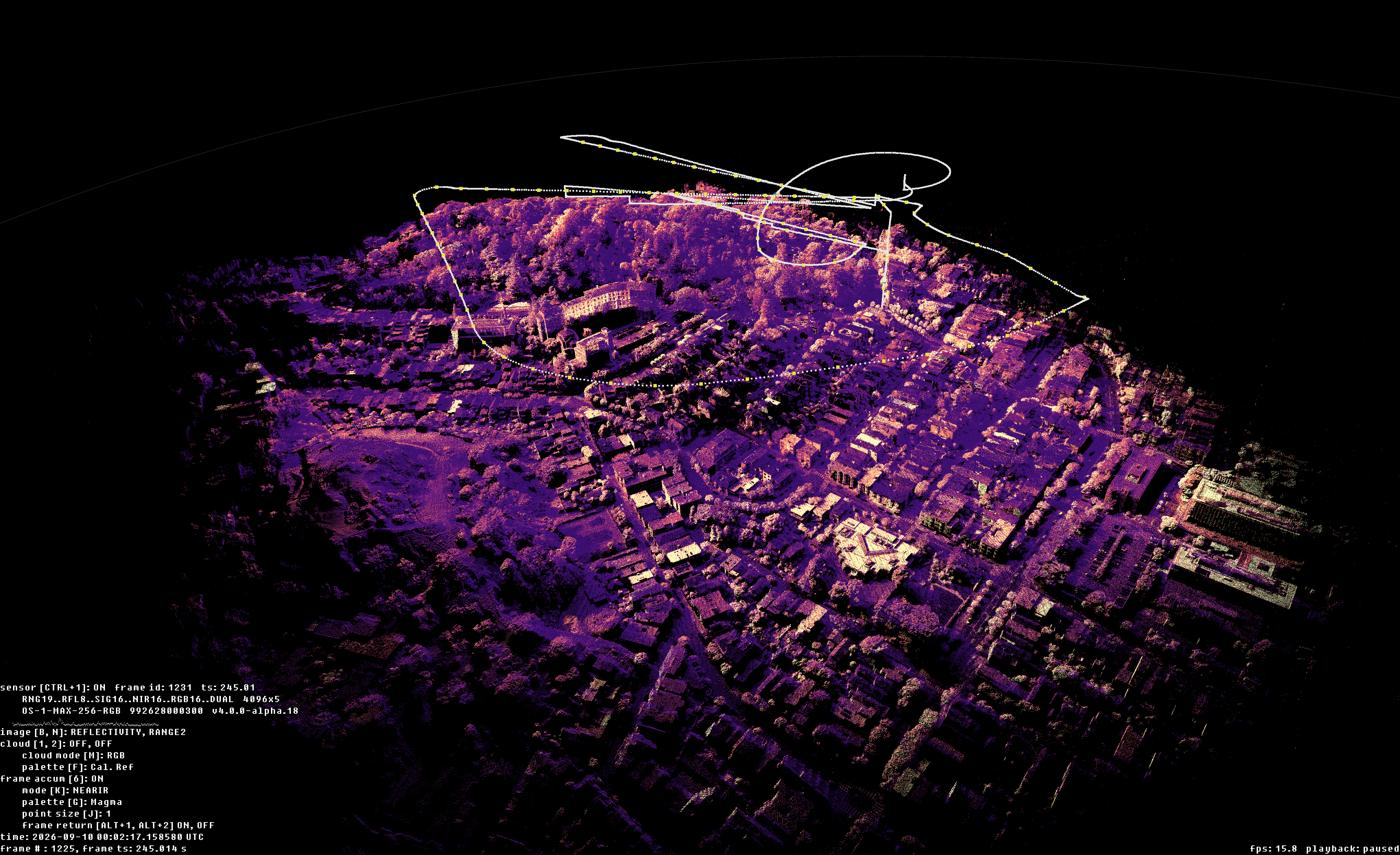
OS1 Max captures crisp, survey-grade data across the flight altitudes drone mapping actually uses, up to 120–150 m, with the headroom to stay clear of low-altitude restrictions and take on BVLOS corridor work under FAA §108. Cover tens of miles of power lines, pipeline, rail, or road in a single flight, with fewer sorties and more ground per mission.
Trusted by the teams building the future of mapping.
“We are moving America's drone surveying onto American sensing by pairing our TrueView payloads with Ouster's Rev8 OS1 Max," said Frank Darmayan, CEO of GeoCue. "This transition allows us to offer our customers a compliant, high-performance solution that delivers the survey-grade data they depend on for critical infrastructure monitoring and large-scale mapping projects.”
Frank Darmayan, CEO, GeoCue
“We are moving America's drone surveying onto American sensing by pairing our TrueView payloads with Ouster's Rev8 OS1 Max," said Frank Darmayan, CEO of GeoCue. "This transition allows us to offer our customers a compliant, high-performance solution that delivers the survey-grade data they depend on for critical infrastructure monitoring and large-scale mapping projects.”
Frank Darmayan, CEO, GeoCue
Frank Darmayan, CEO, GeoCue
“We are moving America's drone surveying onto American sensing by pairing our TrueView payloads with Ouster's Rev8 OS1 Max," said Frank Darmayan, CEO of GeoCue. "This transition allows us to offer our customers a compliant, high-performance solution that delivers the survey-grade data they depend on for critical infrastructure monitoring and large-scale mapping projects.”
See what your drone can really capture.
Talk to our team about evaluation units, sample datasets, and integration support for your platform.