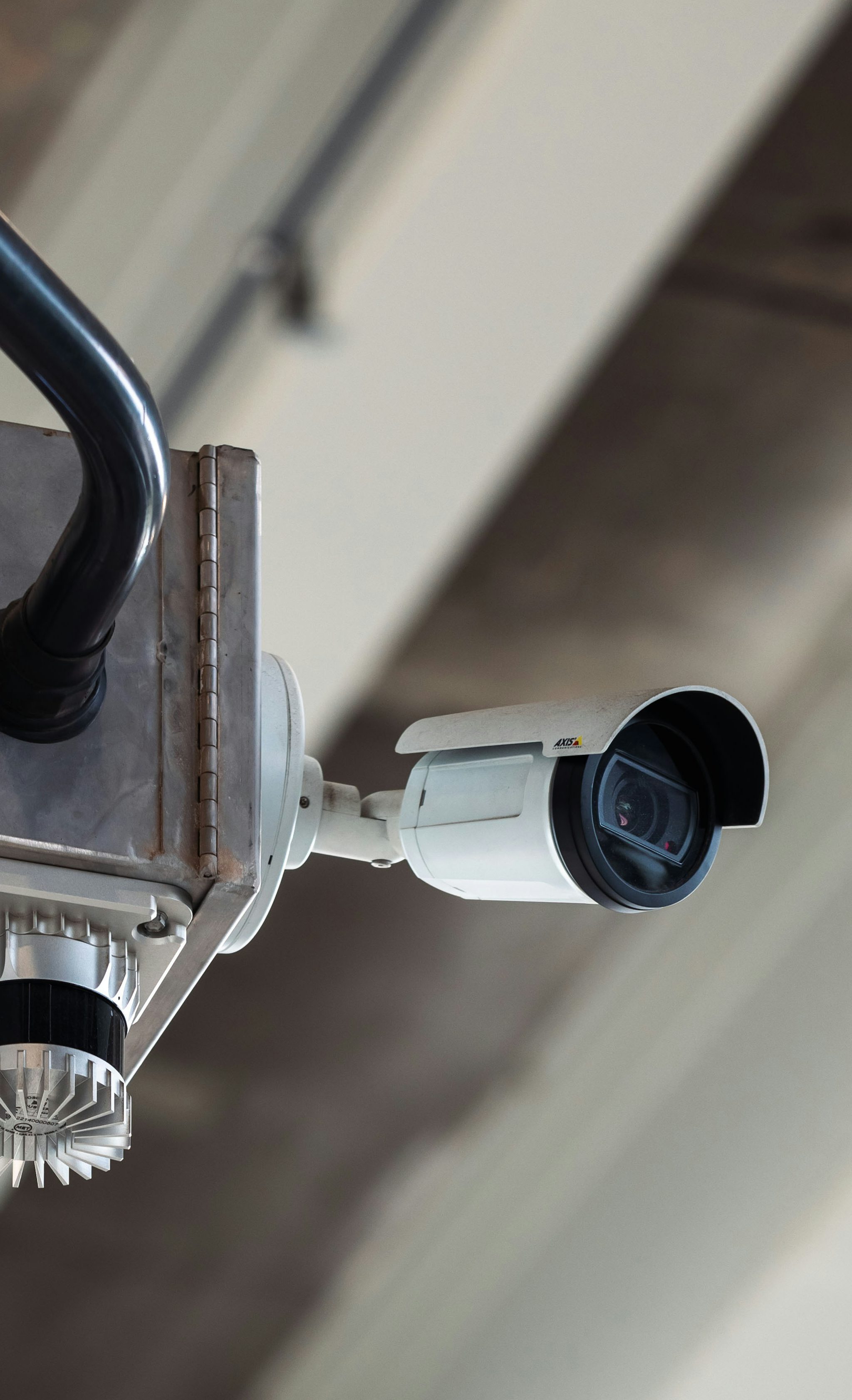
Learn why global data center operators are turning to lidar technology to reduce the nuisance of high false alarms and improve intrusion detection on the perimeter of their data centers.
Learn why organizations are turning to lidar technology to reduce the nuisance of high false alarms and improve intrusion detection on the perimeter of their sites.
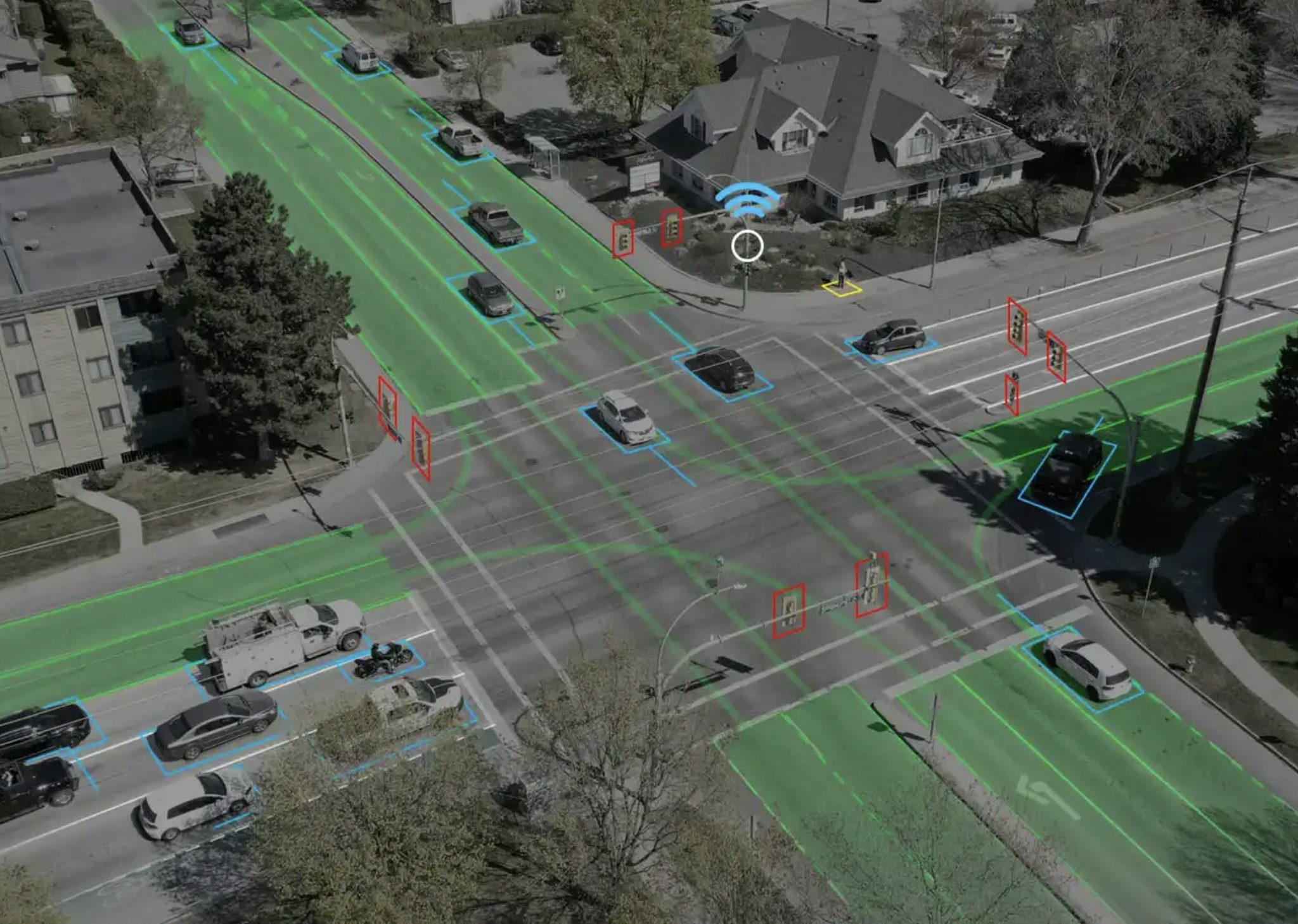
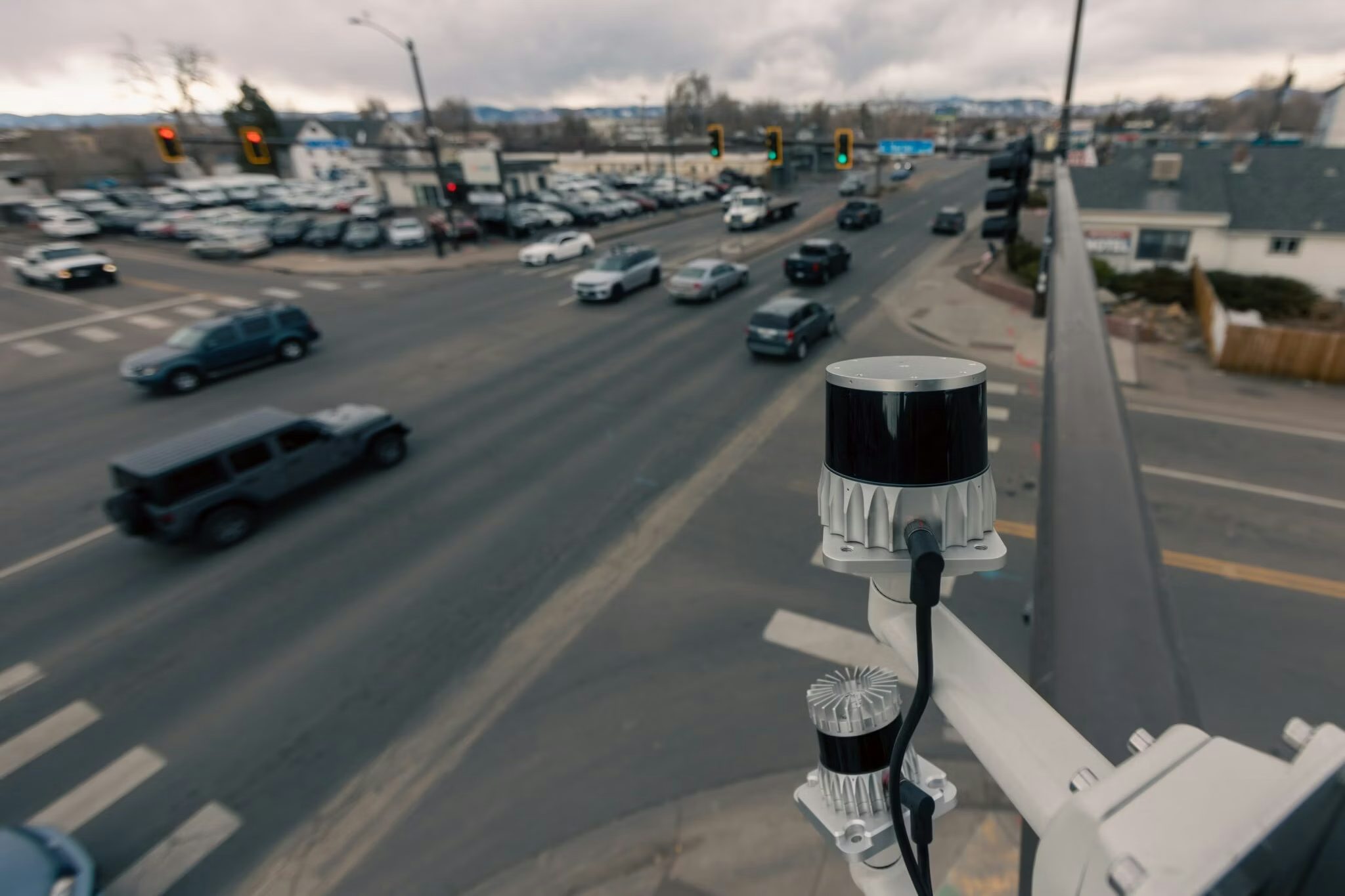
It can be a daunting task for traffic engineers and city planners to choose the right sensor for their application. In this blog, we dissect the use of three sensor technologies for roadway safety and efficiency to simplify the decision.
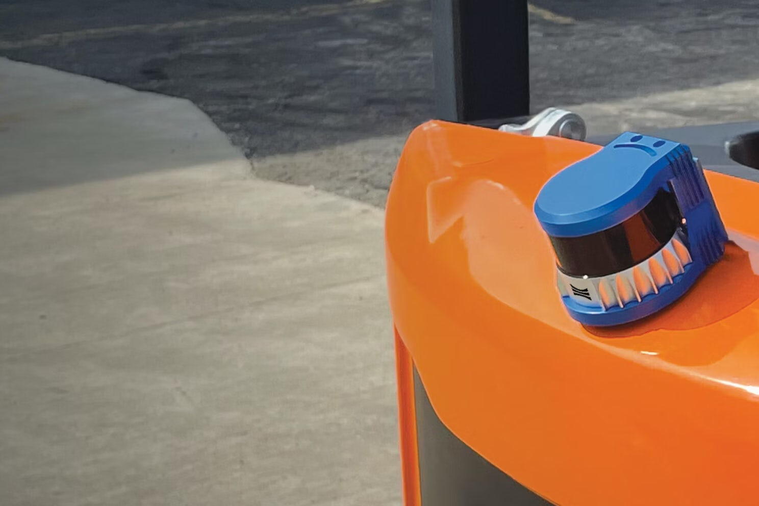
Safety is the focal point of Balyo’s material handling automation business. Their latest platform helps warehousing and logistics companies enhance the safety of their operations and increase efficiency by increasing the object awareness of automated vehicles.
Using inductive loops for traffic control and analytics is an antiquated solution to an increasingly complex problem. Learn about how lidar-based smart traffic technologies can replace loops and unlock new transportation capabilities.
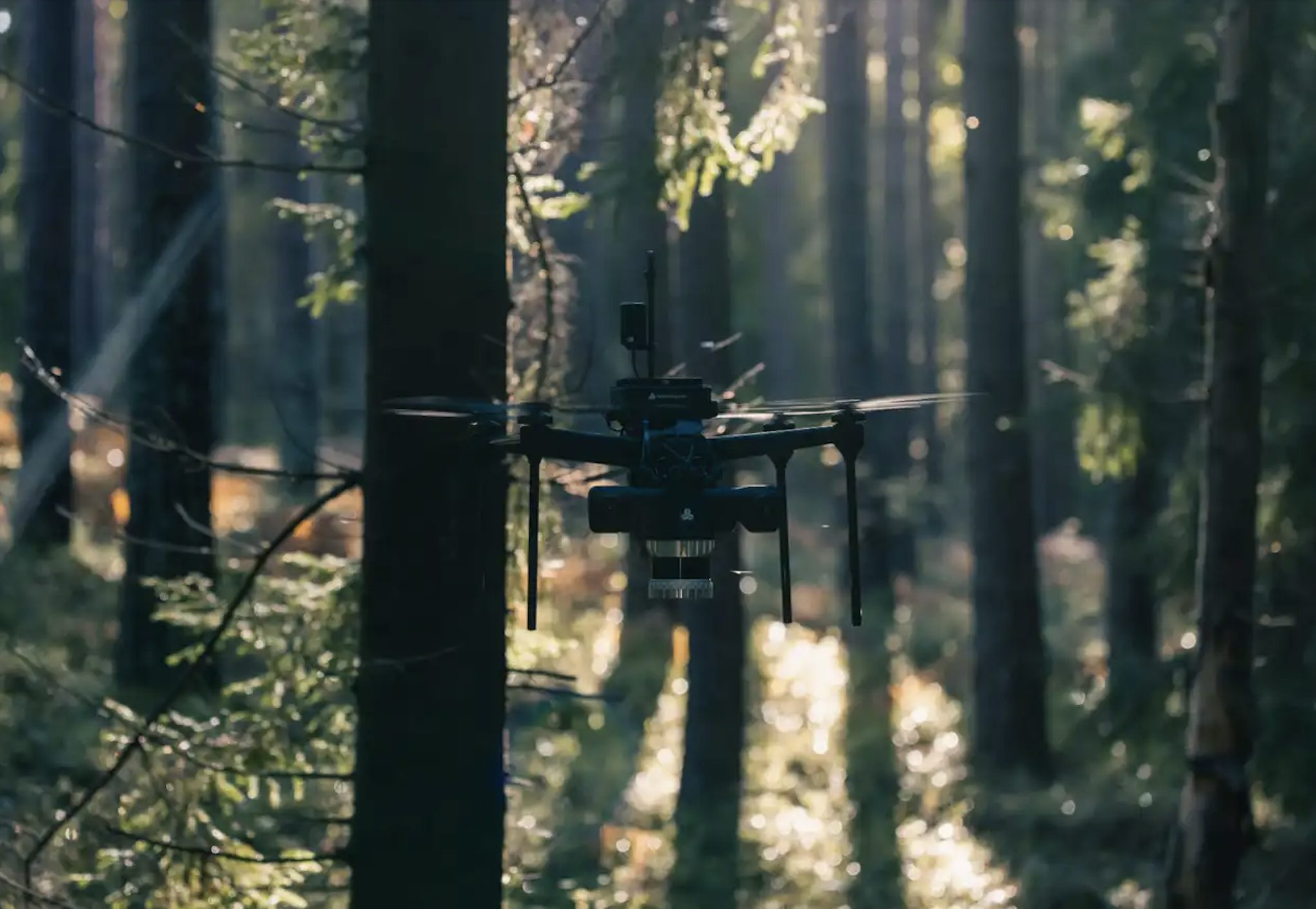
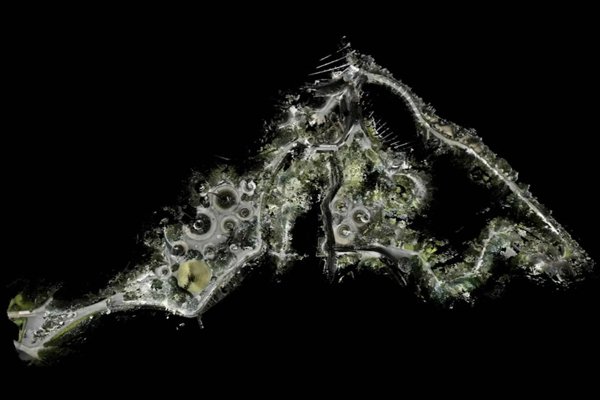
Deep Forestry has built a push-button autonomous survey drone, powered by Ouster lidar, for dense cluttered environments such as industrial buildings, warehouses, or underground tunnels.